
Thom Van der Vaag and Charlie Murray inside the Underground Space Station
For the past six months I’ve been so busy that I haven’t been riding my bike very much. I’ve been running instead. It stretches my half hour bicycle commute through the centre of the city into a leisurely hour long run through High Park and along Lake Ontario. It also creates a sense of time and space expanding, so that as I run I slow down and feel each hill and ravine, the height of the grass, the thickness of the summer air, and take notice of life in the places I run through. Cycling is similar, but accelerated and stretched out, so that in the duration of a thought I can be propelled over the horizon, past driveways and side roads, tracing the topography like drawing a line across a map. As movement, each presents a different way of integrating the body with space, and a different conscious experience of time.
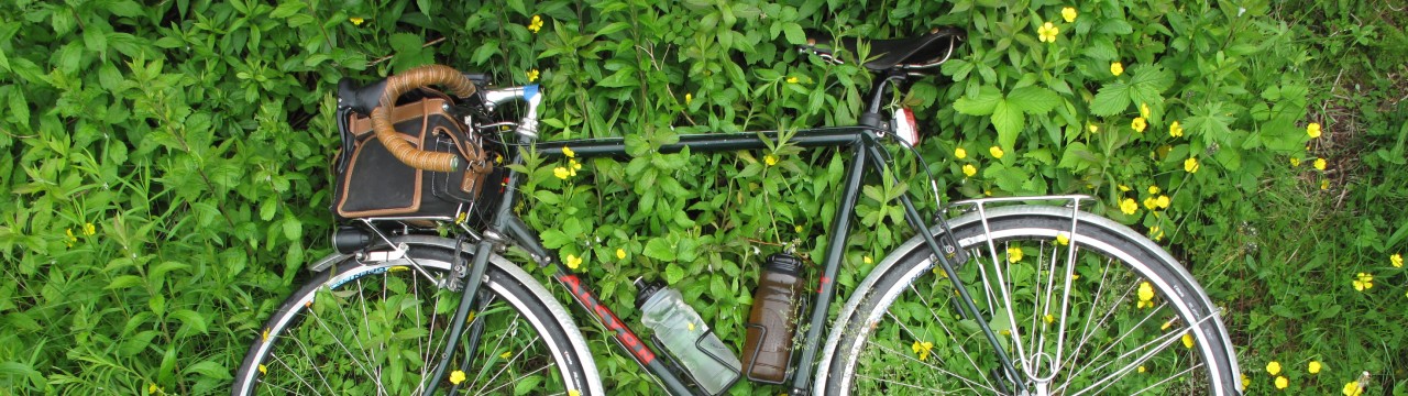
To get back on the bike means getting used to being crouched in the saddle hour after hour, and traversing the vast suburban and industrial spaces that separate central Toronto from the surrounding countryside. Last week Charlie Murray, a Toronto-based artist, wrote to me to say that he was planning a work party at the Underground Space Station (USS), about 80 kilometers north of Toronto. The USS is an experimental alternative living space and eventual artist residency and bed-and-breakfast, near Alliston Ontario, that he and his collaborator and cousin, Thom Van der Vaag, have been working on since 2008. Over the Canada Day long weekend, they and a group of Charlie’s long-time collaborators from the artist-collectives CN Tower Liquidation and VSVSVS, were working on the USS, reinforcing its structure, and getting it ready to be opened this coming fall.
This is the kind of thing that piques my curiosity, so I got up at 5 am on Canada Day Monday, and rode up to the Space Station. The trip also presented a chance to explore a new route out of the city, as a proposal for an eighty kilometre multiuse path across the city – the Pan Am Path – had also just been announced, which included a thirty kilometer section from my neighborhood in the downtown west end to far northwest corner of the city. The proposal for the Pan Am Path, however, is not to build the trail, but merely to link up existing trails to create a continuous network. In the west end the trail is complete, except for a one-kilometer section where one detours along Weston Road. For me, and for other cyclists, the absence of a safe bike route traversing the northwest end of the city has been a major obstacle to reaching the countryside outside of Toronto. In the past, I’d either ridden up Martin Grove and along Finch, and then skirted around Brampton, sometimes amid heavy truck traffic, or ridden to Port Credit and into the countryside, using Mississauga Road, a longer but safer route.
The Humber path is the Northwest Passage of bicycle routes. From the mouth of the river on Lake Ontario to the marshland at the intersection of Highway 427 and Finch Avenue, north of the Toronto airport, it follows almost 30 kilometers of lush wooded river valley, where mid-century garden city apartment complexes rise from the forest, off in the distance. The entire route can be viewed here: http://www.gmap-pedometer.com/?r=5996261

Garden City Towers along the Humber River
Except for a healthy dose of mural art, distant high rises, and airplanes approaching Pearson airport, there are few familiar signs of urban city. Crossing a bridge near Highway 401, I heard what sounded like the splashing of an unskilled canoeist. I turned to see a deer, wading across the river, oblivious to my presence. And there were few people on the path aside from Sikh men who greeted each other with hands raised in prayer, as they passed one another, and the occasional dog-walker. The trail ends abruptly, in a marsh deep in Malton. From here its necessary to ride a few kilometers along Finch avenue, passing a campground that’s miraculously survived despite all the factories and warehouses that have appeared in this part of the city. This leads to a dirt lane that crosses the Claireville Conservation Area, to a suburban boulevard in Brampton.

Abandoned road through Claireville Conservation Area between Toronto and Brampton

Abandoned road across the Claireville Conservation Area, bridging Toronto and Brampton

North entrance of the Claireville Conservation Area, from Brampton
The section through Brampton is short-lived, and not uninteresting. 19th century country churches sit next to 21st century suburban mosques and Hindu temples. And four lane suburban boulevards, shopping plazas and tract houses quickly disappear, leading to rolling hills and countryside, where one can allow one’s thoughts to drifts. Here, it’s possible to choose the least trafficked, or the most interesting route, in my case the lightest line on the map, or the line that appears to follow a natural feature, like a valley or a brook, or has a promising sounding name.

Concession Road 4, Simcoe County

Centreville Creek Road, Caledon
From Brampton, the landscape slowly changes from suburbs to farmland, then to affluent horse farms that give way to poorer rural homesteads, which then give way to vast potato farms. The soil changes, as does the topography and the watersheds that feed it, from the small tributaries at the headwaters of the Humber and Credit Rivers, to the swamps and streams that flow north into Lake Simcoe. Here, near the height of land, 100 kilometers out of Toronto, the Underground Space Station is buried beneath an island of forest, surrounded by farmers’ fields.

Concession Road 4 approaching Alliston

Truck ride to the Underground Space Station

Site of the Underground Space Station
I arrived just before noon, in time to head across the field in the back of a pick-up truck, with the work crew. The group was set with the task of digging around previously installed sections of the USS to install additional reinforcements, which would better disperse the weight of the soil pressing against the USS, which risked bending and buckling under its force. Thom and Charlie took me inside through a portal that lead to the central command module, from which several passageways lead to smaller chambers, including a three person sleeping compartment where each person slept in an individual-sized plastic cylinder, and an observation deck that looked out horizontally into the surrounding earth through a window panel, and downwards into a space designed for the continual excavation of earth from beneath the Space Station.

Digging underway adjacent to the observation deck

View from one of the interior portals

View from above ground, of exposed Space Station modules
Constructed entirely out of room-sized farm water storage containers, altered and sculpted to form modular living spaces, the USS reflects the absurd and ambitious utopianism of Atelier Van Lieshout. Electricity, ventilation, a system for the recycling of human waste, as well as custom upholstery remain to be installed. Completed as such, it will function as a self-contained system for living, at once like the International Space Station and a Cold War era bomb shelter. Not yet entirely concealed beneath the forest floor, from the surface the USS looks like an arrangement of organs contained within a body, and to some extent also operate this way. The command module functions as a DJ booth, and sound tubes are installed at either end of the structure, providing a sonic conduit between interior and exterior. Similarly, portals peek into the forest above, and with mirrored floors, some sections of the interior space will reflect the forest exterior so that one will be intensely aware of both earth and sky, and of how both light and sound resonate and reflect through the Space Station. But unlike James Turrell’s Rodin Crater, a monumental mountain-top observatory in Arizona designed to give visitors a sense of losing their earthly groundedness and of becoming immersed in the cosmos, the USS is designed to give its visitors an enhanced sense of being of the earth. It enables one to get as close to it as possible, to literally get under its skin and become coextensive with it.

Canada Day weekend work crew at the USS
With everyone busy shoveling, I got back on my bike, and looked for a new route back to the city. There is almost always a slight northeast wind in this part of Ontario, which meant I had a crosswind on the ride up to the Space Station, and a tailwind on the ride back to Toronto (though I felt faster riding back, my time was the same going both ways). On the return I sought out the more varied topography to the west, trading my earlier forested route for a hillier and more exposed gravel road that passed through Hockley Valley, and by farms grown up in maple trees where there were still signs of windrows and former driveways. The route was quiet, hardly uninterrupted by cars or people. A dog ran by my side for a while, until I coaxed it to go home, and on a steep section where I had to get off my bike and push up a gravel incline, the only cyclist I saw all day blazed past me, gleefully shouting “how’s it going, dude?” before disappearing.

Passing cyclist on backroad in Glen Haffy Conservation Area

Descending into Brampton and the Greater Toronto Area along Centreville Creek Road

Humber marsh below Finch avenue, at Highway 427, where the Humber Trail begins
Before long I could see the sprawl of Brampton and Toronto, and left the endlessly vibrating dirt roads for the quiet winding path along the Humber, with its lush meadows and futuristic high rises. And soon I was back on the slow humid streets of Toronto, having over the course of a day, ridden past the horizon, briefly disappeared beneath it, and come back again.
Distance: 200 km
Time: 8:23
Average Speed: 24 kph
Maximum Speed: 74 kph
Route Map: http://www.gmap-pedometer.com/?r=5996261

Pingback: Electric Eclectics Festival Live Stream on November 19 – Avant Music News
What a weirdly great article. I live south of Allison and know these roads well as I’m a cyclist too. But an « underground space station » in my neck of the woods? Who would of thought! Thank you for sharing you’re 200km ride. It was a pleasure!
Thank you for your comment and glad you liked this – and some inspiration to possibly reanimate this project. I’d almost forgotten about this article, and about the pleasure of riding those roads north of the city. Perhaps I’ll get back up there after the winter!