The Walking Studio, the Sugarloaf Mountain and the Marathon Monks

Big Intervale circa 1930

Looking South from Big Intervale to the Sugarloaf (centre-right). Photo taken in the 1930’s by Norman MacLeod, who ran a photo studio in Sydney, CB. Image courtesy of the late William MacDonald.

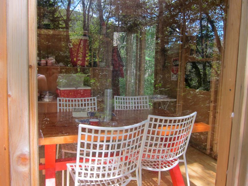
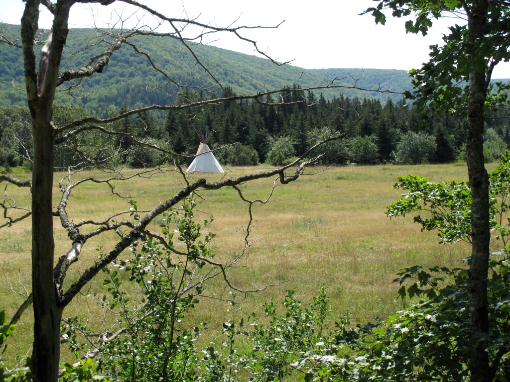
Directly to the south of the place where I am from, an all-but-vanished settlement at the end of a dirt road, in an ancient fault line that extends the length of Western Cape Breton Island, there is a mountain called the Sugarloaf that rises abruptly from the river valley. Separated from the surrounding highland plateau, a winding dirt road passes around one side of the mountain, and a river flows through a narrow gorge on the other side. Several years ago, my partner Diane Borsato designed a “walking studio,” a building that functions as a mobile field lab for an artist to conceive and reflect on artworks that involve walking. After being located at Don Blanche, an artist residency in the Ontario countryside, and at the Art Gallery of York University, we transported it to Cape Breton and installed it in a grove of birch trees, on a ridge that faces this mountain.

The Walking Studio

The Walking Studio

The walking studio is small glass and cedar building with a circular sauna that doubles as a sleeping chamber, and a table for reading, taking notes, organizing specimens, or serving tea. It’s a perfect base for mushroom forays or hiking trips, or to conceive different ways of inhabiting or encountering a landscape. In the winter, when the moon is full, I light the stove and ski around the valley in the moonlight while the sauna heats up. When I was there last, during the summer, I read a book about the Marathon Monks of Japan’s Mount Heiei, practitioners of Tendai Buddhism, and studied topographical maps, thinking of how physical movement shapes how we incorporate and reflect upon the places that we inhabit.

Sugar Loaf Half Marathon - 06

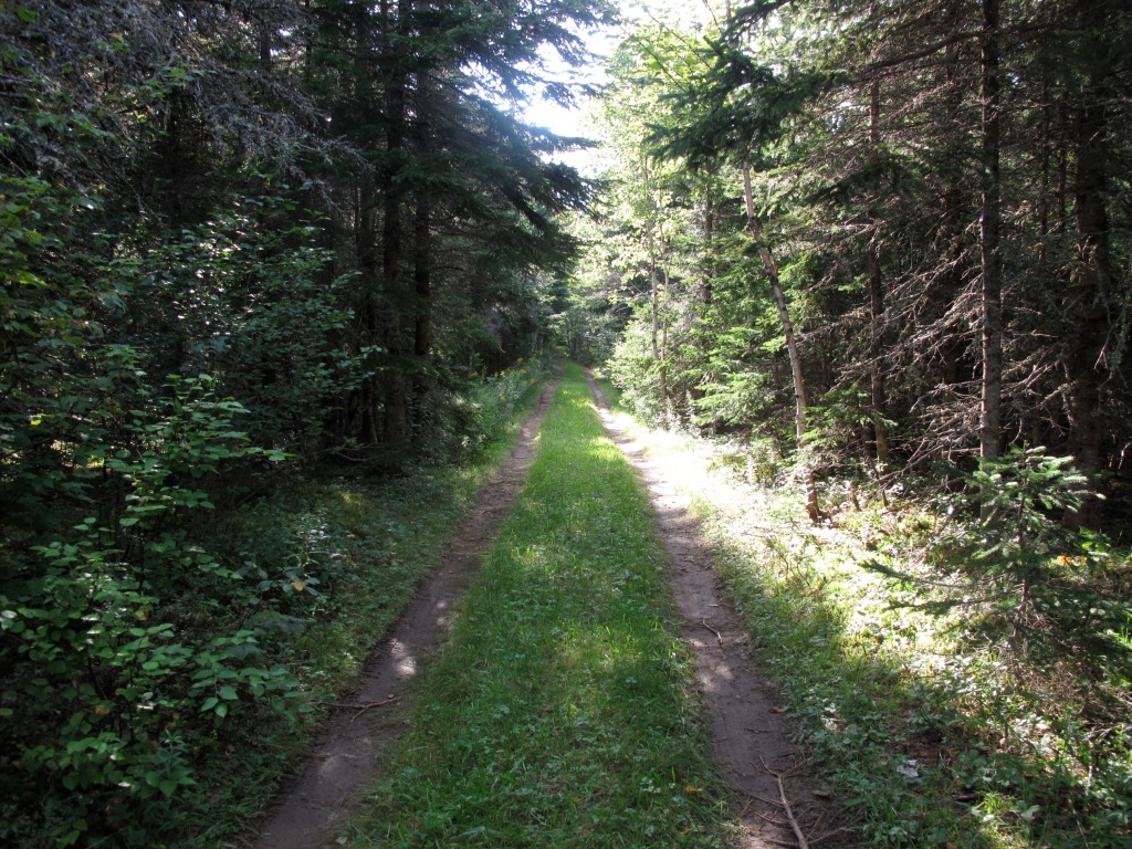
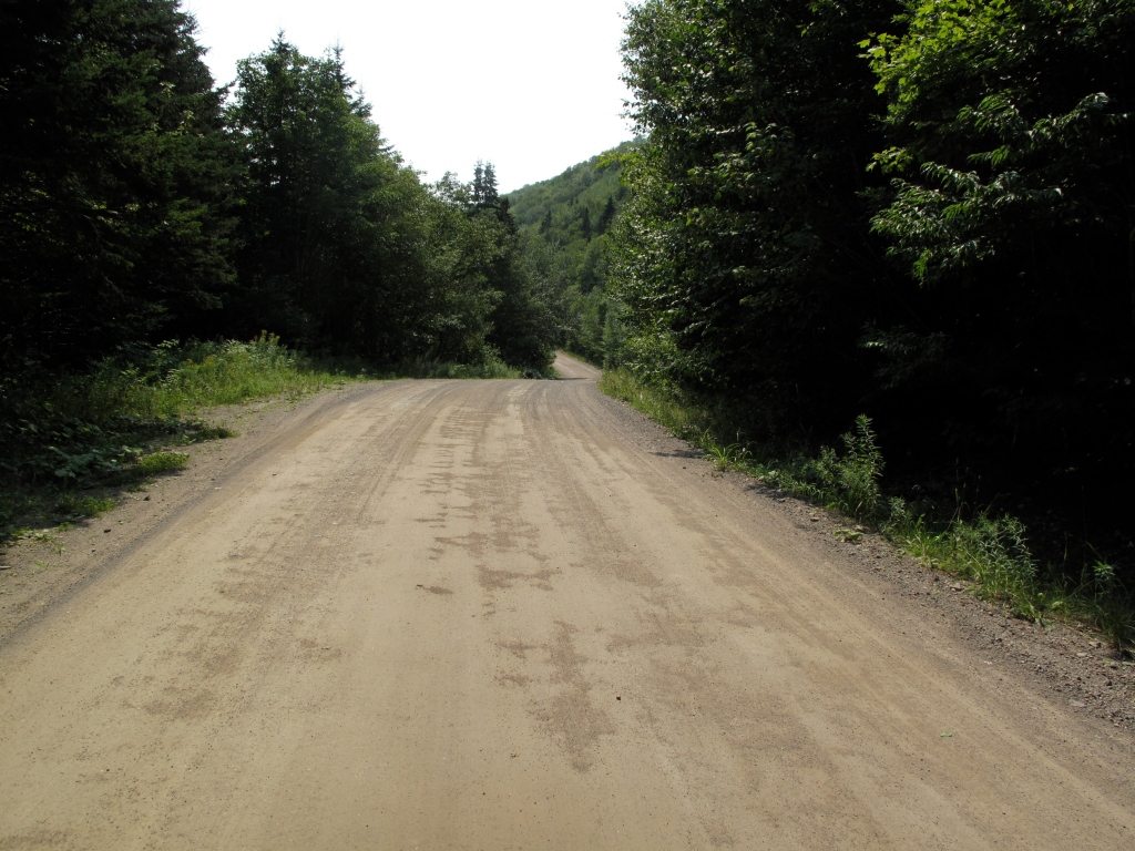
The road from the Walking Studio.

The Marathon Monks can elect to undertake a 1,000-day marathon around 2,700-foot Mount Heiei as part of their spiritual practice. Spanning seven years, this moving-meditation retreat includes running 40 kilometres each day for 100 days, a distance that increases to 84 kilometres for each of 100 days during the seventh year. Wearing straw sandals and white robes, and adopting a gentle, steady gait that makes them appear to be floating through the air, they carry a knife that they must use to commit ritual suicide if they are unable to continue. At the end of this period, after they have run over 46,000 kilometres, they then must undertake a seven and a half day fast without food, water or rest. If they succeed, they are regarded as having achieved enlightenment. Since 1885, only 42 monks, including one who completed it twice, have finished the retreat (Stevens, 1985).

After reading about the marathon monks of Mount Heiei, I went on a much shorter run around the Sugarloaf. The Marathon Monks, who revere nature, often begin their run with a waterfall purification ritual, and stop at temples, shrines and tombs, springs, and other places of spiritual significance for prayer and devotional observation as they circumnavigate the mountain. Running the route around the Sugarloaf, I followed the river down one side of the valley, along a barely traceable hiking trail, to the next community five miles downstream, picked up the paved road for about two miles, and followed a shortcut along a woods road through the forest to the gravel road that continues back to where I started. As a walk it would take all day, but as a run, it took me under three hours; the lazy part of a summer morning, with time to swim in some of the brooks along the way.

Sugar Loaf Half Marathon - 08

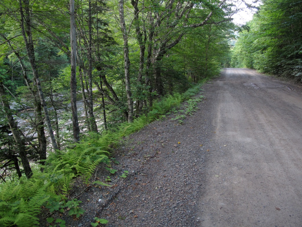
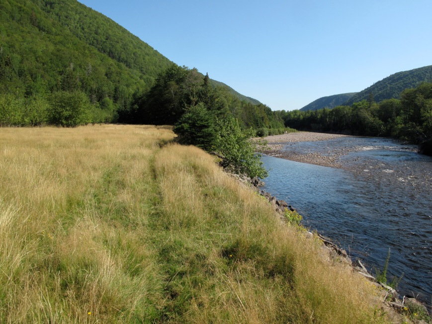
The road along the river.

I started from the walking studio, passing the farm where I grew up and neighboring farms that, with one exception, have been almost completely reclaimed by the forest. The river wends back and forth across the wide valley, against the far mountain and back again, alongside the road. Then the valley narrows, so the road cuts into the mountainside, and widens again where there is a fishing lodge that faces a waterfall high up on the mountain. Long ago, this property had been cleared for livestock, and then sold sight-unseen in the 1970s to homesteaders who built an octagonal turret-like house. They lived there for the better part of a decade before they finally parted ways, and the house was sold and turned into a restaurant.

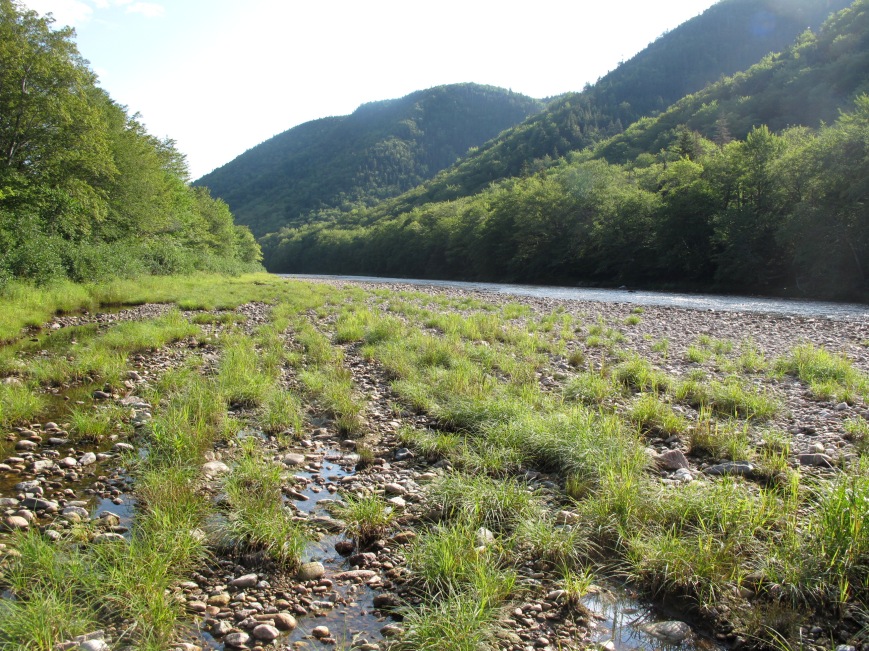
Looking North along the river, Sugarloaf to the Right.

Looking North along the river, Sugarloaf to the Right.

Sugar Loaf Half Marathon - 11

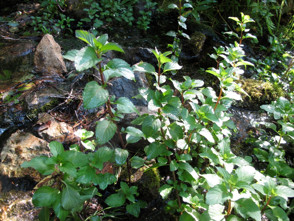
Wild mint along the path.

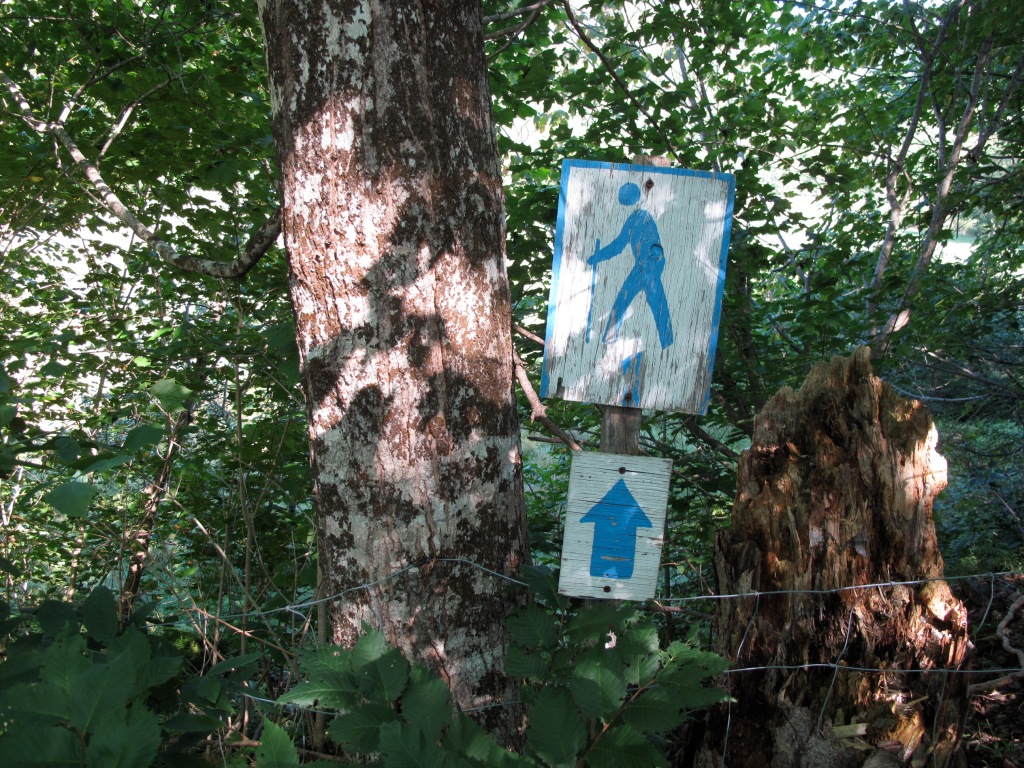
Beyond this point there is no road. But there is a path that has been kept clear by the lodge owner for fisherman and hikers, and by a herd of cows that once migrated upriver each summer. Half a kilometer past the lodge, the river swings back towards the mountain and I cross a tiny stream where I can smell wild mint among the rocks, and jog along the riverbank to a place where the valley widens again. In this valley, that was once called MacLean’s Intervale, there is a clearing where there are stones from a foundation, an overgrown apple tree, and a small brook that flows from the mountain. During the second half of the 19th century a couple named Archibald MacLean and Flora MacArthur lived here. I know little more about them than that Flora lived to 110, and that a member of this family experienced a “forerunner,” a vision or dream that described an event that was to happen in the future, a phenomena that was well known among people from this place. In this case, the person envisioned what they described as a tragedy on one the side of the Sugarloaf that would be worse than anything that had happened before. The following summer a daughter of the family was dragged to death by a team of runaway horses. These are the few facts that local historians recorded about their lives (Hart, 1963).

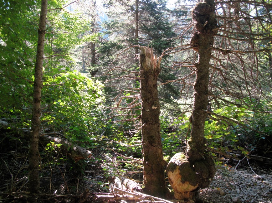
Burls on dead spruce trees in MacLean's Intervale.

Burls on dead spruce trees in MacLean’s Intervale.

While little was written down, there are many clues to the past that can be discerned from the landscape itself. In the early spring, when there are no leaves on the trees and snow still lingers in the woods and in shaded ravines, it is possible to make out the faint lines of roads cut to haul wood from the mountains. And along the edges of meadows are piles of rocks from fields that were cleared, and scraps of iron or crockery can be found among the ruins of stone foundations. When I come across these faint clearings where the forest opens up and there are signs of human presence, there is a haunting sense of having slipped into another time, where others might also wandering around.

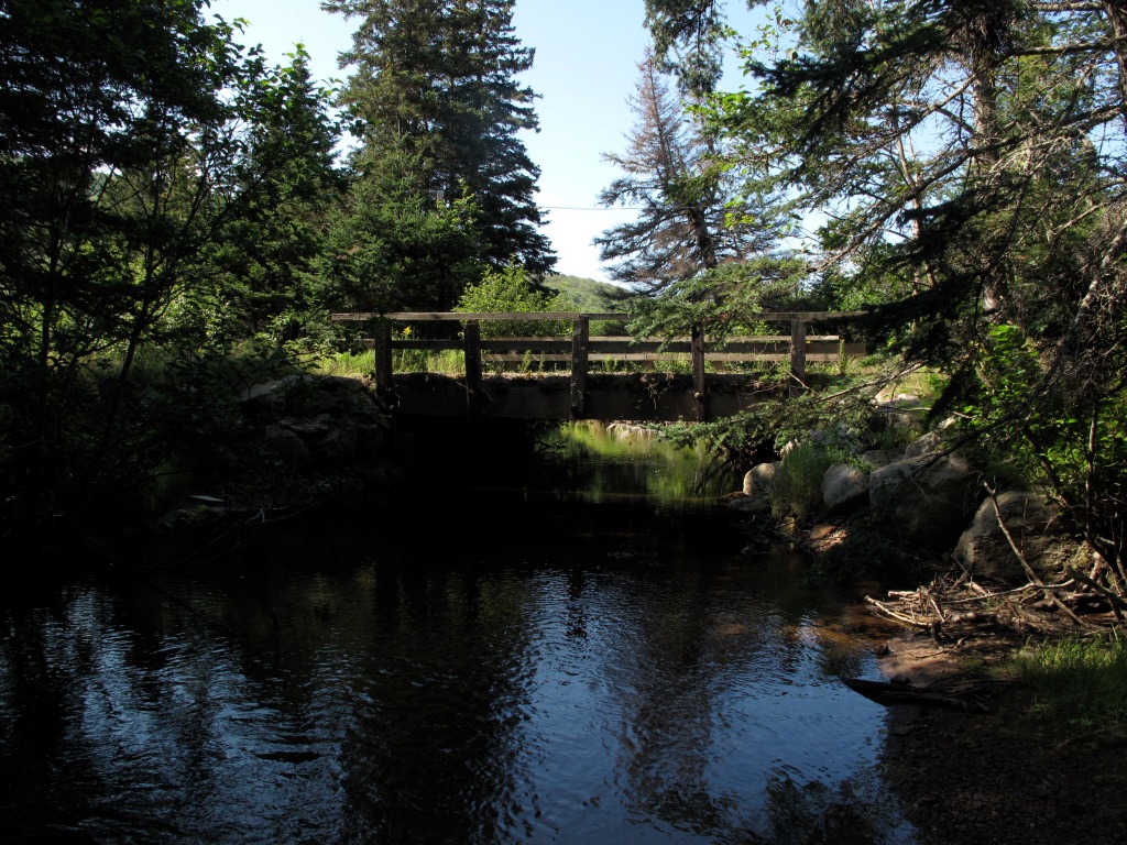
MacLean’s Intervale is full of mature maple trees, and spruce trees covered with large burls – bulbous growths caused by burrowing insects or fungus. Beavers have flooded the lower intervale along the river, making passage difficult. From here I bushwhack through windfalls and find my way downstream to where the river cuts back to this side of the river. Despite these obstacles, the valley is so narrow that it’s almost impossible to get lost. A kilometer downstream are the remains of a cribwork built into the side of the mountain during the 1960s as part of an effort to restore the road. I scamper over boulder and roots to find the trail at the other end of the pool, a well-defined path that leads to the upper farm pastures of Portree and meets the paved road at the end of the bridge, where local kids jump from the bridge into the deep pool below. Below the bridge is a farm depicted in a glass plate negative, from which someone gave me a print, but knew nothing other than where it might have been taken. For years I showed it to anyone who I thought might know what it portrayed and walked around different sides of the mountain, trying to see where it was taken. When people started putting old photographs on Facebook and commenting on them, I posted it to a group that shared images from this area and several people immediately identified it as depicting a farm where in 1912 a two year-old boy mysteriously disappeared. There were various theories: that he’d fallen into the river; that he’d been carried off by an eagle; that he’d been abducted by a traveling salesman or by someone seeking revenge against the family. When my parents came to this place sixty years later, this was an event that was still talked about.
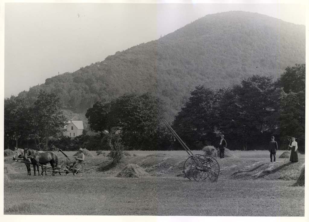
George RGB

Farm below the Portree bridge, in the late 19th century. Photographer unknown.
Image Courtesy of George Thomas.
Fields with sheep path, below Black Rock pool.

Field with sheep path, below Black Rock pool.

Sugar Loaf Half Marathon - 20

What remains of this trail, the one that I followed, goes from the west side of the Portree bridge to the Big Intervale Fishing lodge.

From there, I run along the Portree road, turning onto a tractor road that cuts across the backlands to Rivulet, a place that now consists of only a cluster three houses. I pass by a farm where I worked each spring when I was a student, for a few weeks helping to repair fences and shovel out the cow barn, listening to the father who had lived his entire life there describe things from sixty years earlier as vividly if they’d happened just that morning. He described traveling up the grown-in road that I’d just followed, when it was the main road, to go to dances in places where there are now only spruce trees; about who came to those parties and their different characters and temperaments; and he talked fondly of his wife, who he met there, of how in the summer the cows could smell the cow parsnip on the top of the mountain and would walk all the way up there so they could eat it.

Sugar Loaf Half Marathon - 27

Swimming spot just off the road.

Sugar Loaf Half Marathon - 28

The road to Big Intervale.

Along the Big Intervale road I settle into a steady pace. The ten-kilometer distance that I’ve only ever covered in a car or on a bicycle passes quickly. I find a gentle physical rhythm, hearing the murmur of streams as I pass over them, feeling clouds of hundreds of tiny insects hitting my skin, smelling the fragrances of flowers and trees, and tasting the cold clear water when I kneel down to drink at a tiny spring hidden along the edge of the road. As I approach Big Intervale, I meet Diane, who has come looking for me in the car, get in, and after a kilometer, get out again so that I can run the final distance. Here, one can feel entirely cut off from the rest of the world: the telephone and electrical lines, and the gravel road all end. Beyond this place is only river and mountains and forest. Inhabited by 80 or so families during the 19th century there are now only about three year-round households. All but a few of the farms that they eked out of the soil have long fallen into ruin and been reabsorbed by the forest. There is a sense of a history that has vanished almost without a trace, leaving memories that can be registered only by being there, as they return to the earth.

Sugar Loaf Half Marathon - 34

Big Intervale

At the end of the run, I meet up with Diane and we walk back to the walking studio, passing through the forest where my father once had a sawmill. Down on the ground I see the unmistakable shape of a young porcini mushroom, a prized edible that has an earthy, bodily fragrance. This is the first I’ve found here, and we bring it back to the Walking Studio for identification.

Distance: 20 km.

Time: 2.5 hours.

Sources:

John F. Hart, History of Northeast Margaree (Margaree, NS: no publisher, 1963)

John Stevens, The Marathon Monks of Mount Hiei (Boston MA: Shambala, 1985).

Ashley Tingley, Cold Case of Portree (Pictou, NS: Advocate Printing, 2010).

Naked in the Nashwaak: Gallery Connexion, ATSA and the Mystery Highway

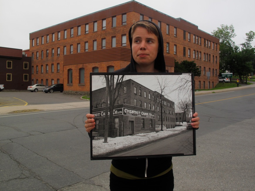
Connexion ARC Associate Director Sophia Bartholomew in front of the gallery

Associate Director sophia bartholomew in front of Connexion ARC, formerly the Chestnut Canoe Co.

This past June, at a conference in Saint John, New Brunswick that attracted people from just about every artist-run centre in Atlantic Canada, one of the staff members from the Owens Art Gallery hosted a late night party in his hotel room. There were about a dozen of us, which made it impossible to keep quiet, and after the front desk called for the second time we talked in voices that were like both yelling and whispering at the same time. In that crowded low-ceilinged room great ideas were conceived and then forgotten, and after agreeing to meet up two other people for an 8 am swim in the Saint John harbour, I went back to my hotel room to rest up. While we abandoned this idea in the morning after looking at the water, it was clear to me that this was just my kind of art scene.

sophia bartholomew and John Cushnie, co-Directors of Connexion ARC (formerly Gallery Connexion) in Fredericton, who had adventurously proposed the idea of a morning harbor swim, told me about a section of unopened new highway outside of Fredericton. They described it as four lanes of pristine asphalt that can be accessed from a back road, a mysterious road that gently winds through seven kilometers of uninhabited New Brunswick hills and valleys, ending abruptly in the trees. It’s a highway that seems to lead from nowhere to nowhere. And they assured me that there were places to swim in the Wolastoq River (otherwise known as the St. John), which flows through Fredericton on its way to the city of Saint John and the Bay of Fundy.

The promise of such an adventure, as well as a chance to visit Connexion ARC was enough for me to plan a stopover in Fredericton on the long drive from Toronto to Cape Breton later that summer. By that point Connexion ARC had just opened État d’Urgence (State of Emergency), an exhibition of work by ATSA (Action Terroriste Socialement Acceptable), an activist-artist group from Montreal consisting of Annie Roy and Pierre Allard. ATSA’s work includes participatory public interventions, most famously the eponymous État d’Urgence (1998 – 2008), a refugee camp created in downtown Montreal, where with the assistance of the Canadian military, ATSA set up tents and an outdoor kitchen, providing food and shelter, and inviting artists to create works throughout the duration of the project. Having long known about their work, which was directly and antagonistically engaged with issues of poverty, homelessness, and displacement in Montreal, I was curious to see how it would present in a gallery context.

When it was first staged in 1998, État d’Urgence almost immediately turned into a de-facto homeless shelter, largely occupied by those who needed food and a place to sleep, rather than by an art-going public. Intended to draw attention to issues faced by refugees around the world, and the conditions of Montreal’s homeless population, the spectacular nature of the project worked to undermine the often-unconscious separations that exist between different social groups, and place members of Montreal’s homeless population, civic leaders, and the general public in dialogue with one another. Such direct social collision is very much the substance of ATSA’s practice, so what appears at Connexion ARC was quite different, consisting of art objects that were produced in the context of État d’Urgence

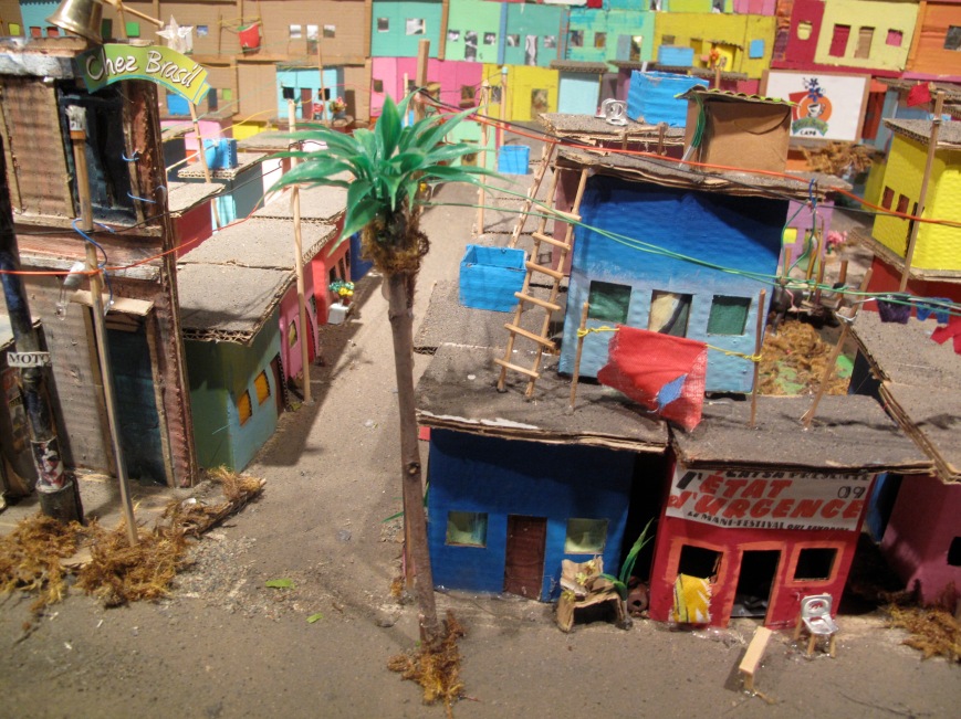
While it functioned as a support structure, providing food, clothing, shelter, warmth, security and entertainment, État d’Urgence was also a curatorial platform, where artists made works that engaged and responded to people who visited the refugee camp. This was reflected by many of the artifacts and documents that were on display, including Casa de Papelon (2009), miniature cardboard favelas (shantytowns) conceived by Sergio Cezar, a former soccer player from South America, now living in Montreal, who worked with artists, volunteers, and visitors to create mock-ups of Rio de Janeiro’s favelas out of recycled materials.

BC-Fredericton - 22

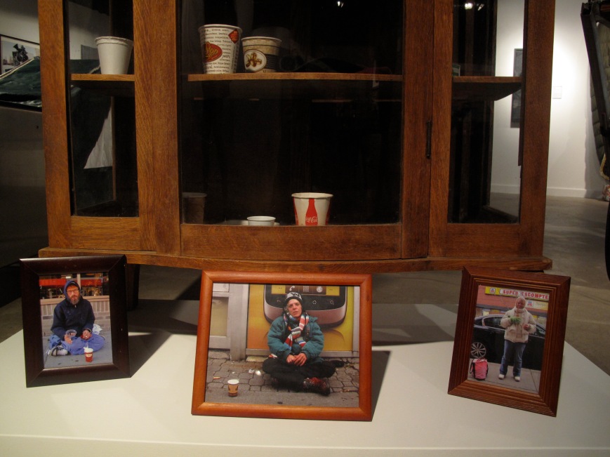
And, in Your Body, My Studio: Tattooing Art Action Project (2006), Sylvie Cotton asked people she met at the camp who had tattoos if she could copy them into her notebook. She then had each person transcribe their tattoo onto the same place on her body, and wore it throughout the day. More overtly engaging and transgressing representations of domestic and family life, Patrick Berube’s installation, Antique dresser displaying panhandlers’ glasses and plates (2010), contains these items, along with framed portraits of each person from whom they were obtained (the cups and plates were acquired by offering a better one, or offering to double the money it held at that moment).
BC-Fredericton - 16

This installation inserts these abject and intimate objects into a structure that conventionally represents domesticity and security, giving visual form to the collision of worlds that État d’Urgence faciliated within public space. Among close to a dozen collaborative and site-specific works that engage the participants of État d’Urgence, these different pieces are artifacts of a more-than-a-decade-long project, reflecting highly charged social exchanges between visitors to the refugee camp, and forms of collaboration between artists and people living on the street.
Seeing État d’Urgence in Fredericton is both surprising and interesting because of the gallery itself and its geographical context. An artist-run centre that began in 1984, over its thirty-year history Connexion ARC has supported artists’ studios, a performance space, a bar, and a member’s gallery. Having recently been nomadic when the Wolastoq flooded, the gallery is now located in the basement of what once was the Chestnut Canoe Company, which made canoes and snowshoes up until the later half of the 20th century. The building is a reminder of the many specialized manufacturing industries that once existed in cities and towns across Atlantic Canada. Now occupied by government agencies and cultural organizations, it is an indicator of some of the broader economic shifts at play in this region of the country.

Crossing the Wolastoq River

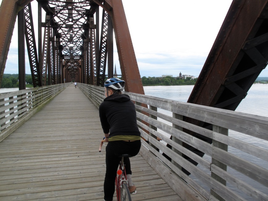
Crossing the Wolastoq River from Fredericton to Marysville

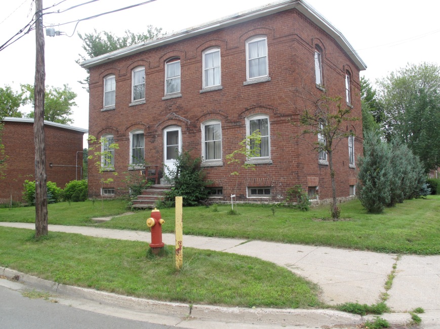
After an early morning tour of État d’Urgence and Connexion ARC we hopped onto our bikes and headed out onto the quiet backstreets, past stately 19th century homes and across a former railway bridge that has been turned into a recreation path, to the adjacent town of Marysville, now a suburb of Fredericton. We followed the bike path past a currently operational sawmill, and then a former cotton mill that had closed in the mid 1970s, and along streets lined with 19th century brick tenement houses.

Worker's tenement houses in Marysville New Brunswick

Worker’s tenement houses in Marysville New Brunswick

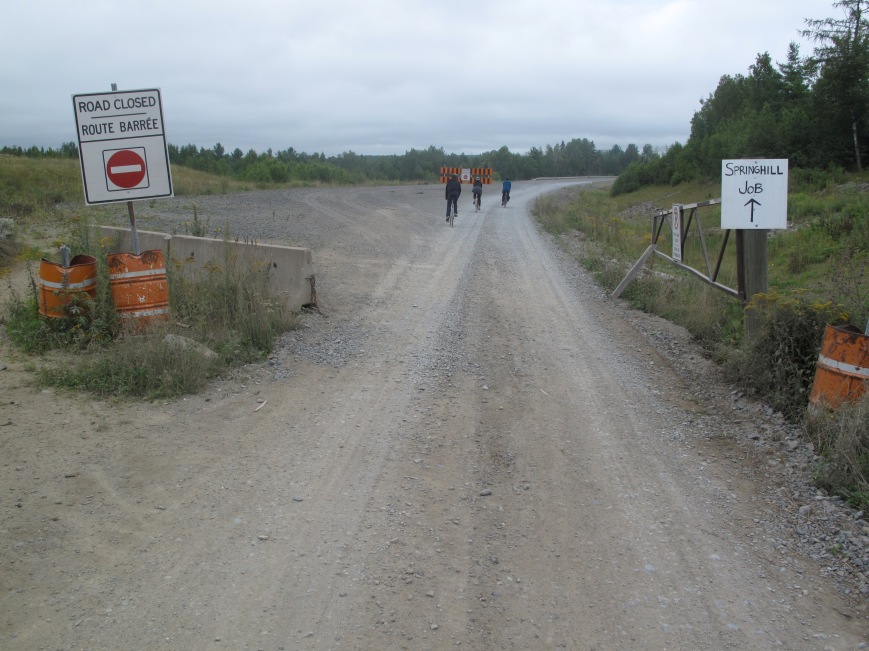
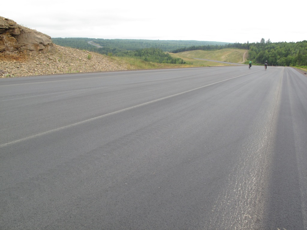
A back street eventually took us to a construction entrance, where a newly paved section of unopened four-lane highway began.

Entrance to the mystery highway

Entrance to the mystery highway

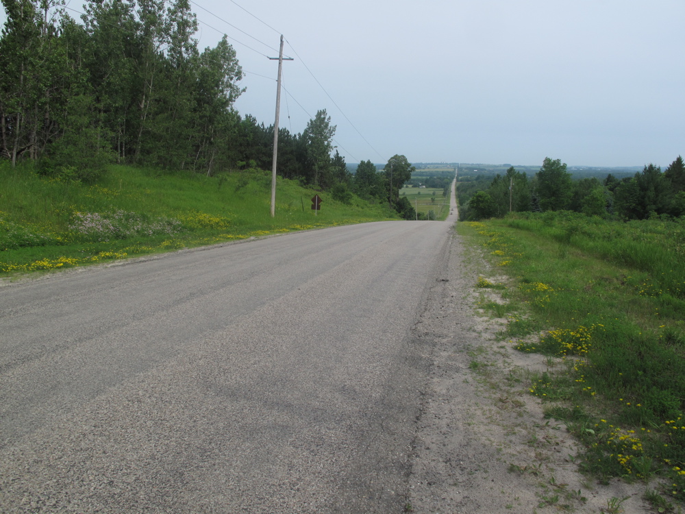
With the full expanse of the road to ourselves, we glided down the gradual engineered grades and around wide sweeping curves to where woodcutters and bulldozers continued to cut into the forest (later, when trying to find it on Google Earth, there were no satellite images of the highway, nor any obvious indication of other highways to which it might connect). Riding along the highway, the landscape seemed vast and unoccupied, and despite houses in the distance, and a column of smoke from a mill just over the horizon, it looked like pristine wilderness. But given how much of this province is owned or leased by pulp and paper companies, these forests are likely tree plantations, to be harvested once they reach maturity. It feels strangely empty, and with the population of the entire province being less than half that of the city of Montreal, one can easily go for hours here without seeing another person.

BC-Fredericton - 65

Riding The Mystery Highway

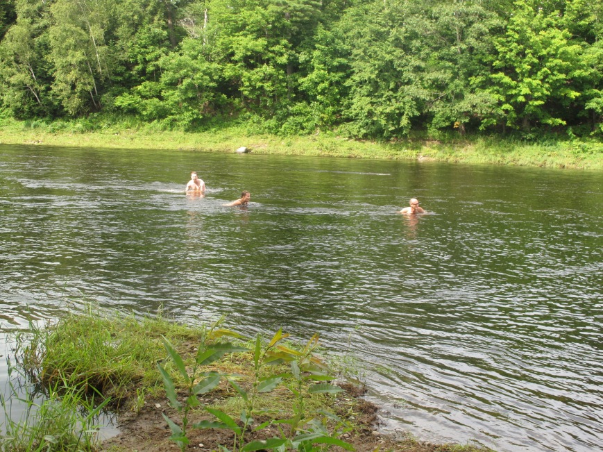
On the return, possibilities for swimming were in abundance. Passing once again through Marysville we stopped at a municipal park to swim in the Nashwaak river, where it was shallow and wide.

Swimming in the Nakawic River.

Swimming in the Nashwaak River.

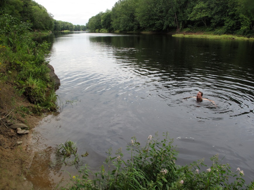
Under an awning in the park was a series of bathtub-sized elevated barbeque pits designed for a fire to be built underneath. Recalling a horse-trough repurposed as a hot tub (at Don Blanche, an artist residency north of Toronto) by building a fire underneath, it seemed that these could also be used to create a public bathing experience, where multiple groups of people could soak in their own hot tubs and then cool down in the river, just a few feet away. From there we continued along a public recreation trail that followed the river valley, passing through the marshes. John and I looked for signs of where local kids would go to hang out, pretty secluded places where they might swim in the river or have parties at night, and found a path that lead us to a high secluded bank where we scampered down the muddy bank, and swam out into the deep still water of the Nashwaak, interrupting a heron that had been fishing along the river.

Swimming in the Nakawic River, again

Swimming in the Nashwaak River, again

From here, we continued back to Fredericton, and resumed our drive to Cape Breton. Our visit to Connexion ARC was but a small glimpse into one of New Brunswick’s numerous contemporary art space, and État d’Urgence was an important exhibition that arose from a very specific critical context in Montreal, that for me also raised questions about what socially engaged art practices might look like in this region, and what specific problems and possibilities it might address here. Seeing how John and sophia engaged their surroundings in such curious and intelligent ways made this place feel rich with possibility. Along our route there were more signs of Atlantic Canadian counterculture and artist-run culture – a poster advertising a Beginner Farmer Symposium, another advertising the White Rabbit Festival, an annual artist residency on the Parrsboro shore. Later that day we stopped at Struts Gallery, which is part of an extremely active and dynamic art scene in Sackville, a town along the vast tidal flats that connect New Brunswick to Nova Scotia, and once again, at ASAP Artist Run Centre in Antigonish, founded just three years ago. In less than 24 hours, while just passing through, it became apparent that spread across this landscape is an adventurous, interesting scene, and that there are always great places where one can swim.

Distance: 30 km
Average speed 20 kph

Connexion ARC’s current exhibition, on until October 25th, is Chris Foster: Frontiers in Real Estate. Gallery Connexion is located at 440 York St. in Fredericton. http://galleryconnexion.ca/

In 2014 ATSA’s État d’Urgence travels to Vancouver for Heart of the City Festival with Grunt Gallery and Gallery Gachet (April 4th to May 18th), to Calgary where it will appear at the New Gallery (June 27th to August 2nd), and to Winnipeg, where it will appear at Centre Cultural du Franco-Manitobain (August 17th to October 3rd).

Belfountain Forest Run and Brook Spa

Belle Fountain Run - 02

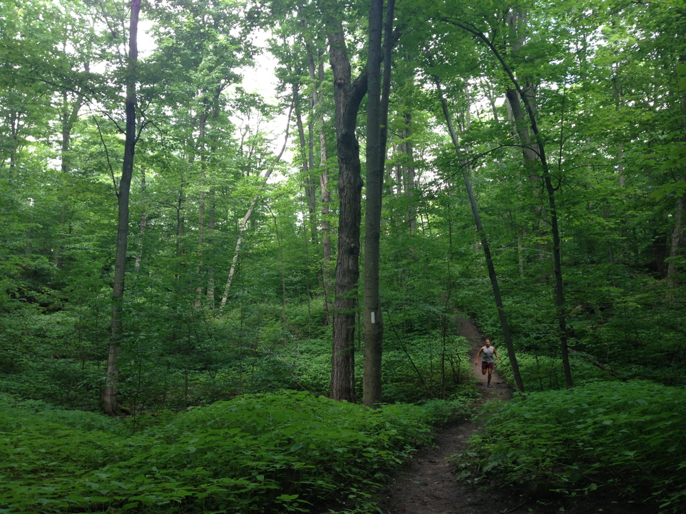
Running through Trees and Sky at 7 am.

This running route has been one of the great discoveries of summer. Not just of this summer, but of all summers since I moved to Toronto. Or it could be a great hike, which is how I first experienced it. Passing through a landscape that seems a thousand miles away or a hundred years in the past, it’s just upstream from the most densely urban part of Canada.

Belle Fountain Run - 01

Horse Farms

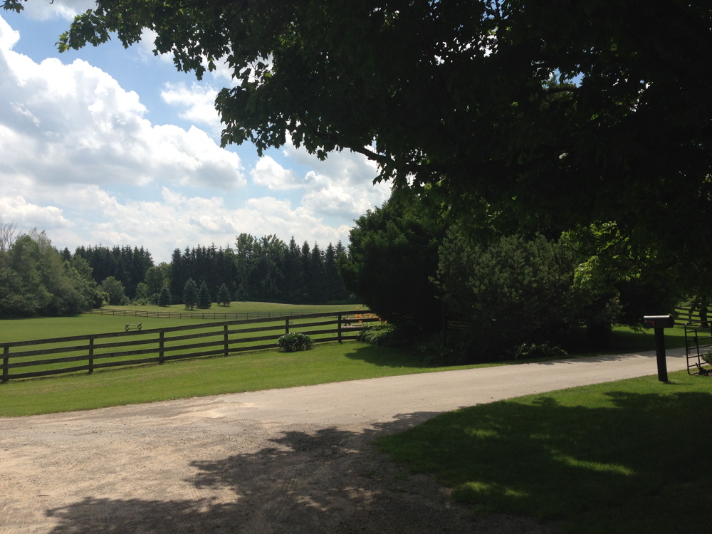
It starts on the Bruce Trail, just north of Mississauga and Brampton, or about 45 minutes by car from downtown Toronto on Highway 401 and 410 in quiet early morning traffic. There is a place to park at Creditview Road and Grange Sideroad, beside a particularly beautiful horse farm (it seems that all the farms in this area are horse farms, and that they’re all beautiful).

Belle Fountain Run - 05

View looking north from the Niagara Escarpment at the Forks of the Credit

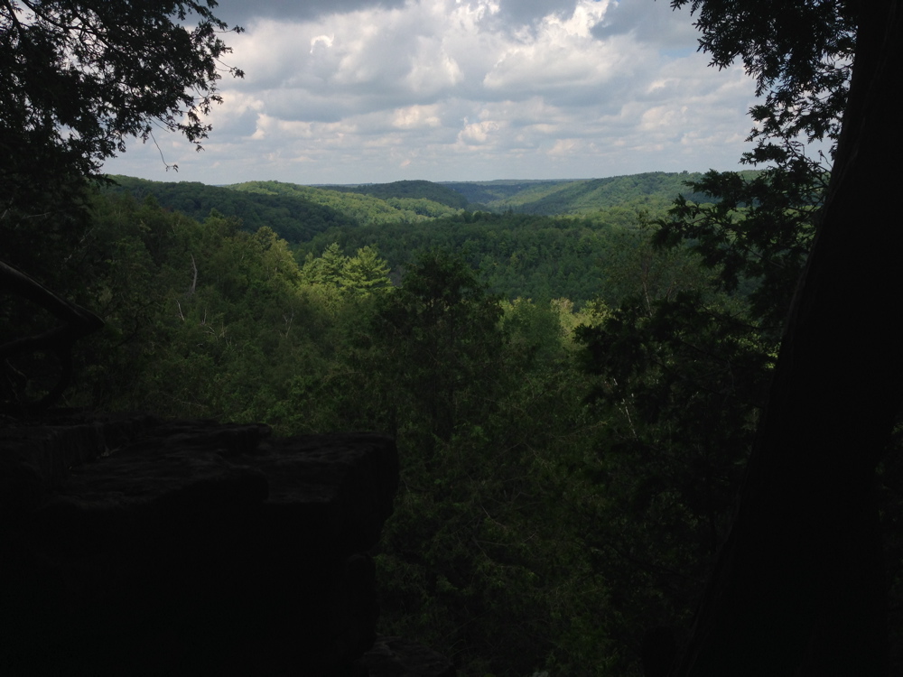
The route follows the Bruce Trail, weaving around ponds and winding through dense green foliage, to the edge of the escarpment where the land suddenly drops away and one can see the steep hillsides of the Forks of the Credit, uninterrupted by houses, roads and any other visible infrastructure of the past century.

henri-stairs-Belle Fountain Run - 16

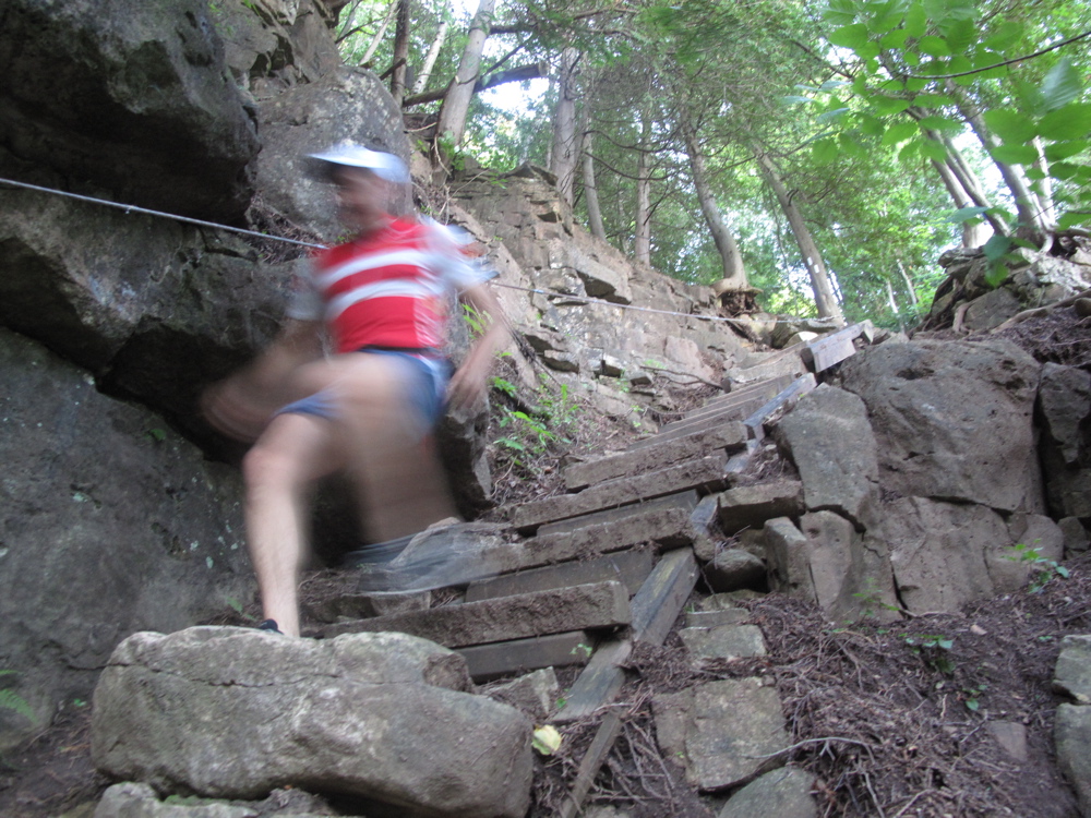
Descending the Rock Staircase

From the top of the escarpment one descends a rock staircase built into the side of the cliff, passing through cedar woods and along a rock path to the road at the bottom of the valley.

rocks-Belle Fountain Run - 19

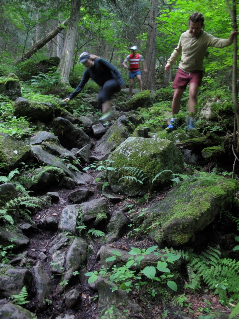
The Bruce Trail at the Forks of the Credit

Despite appearing so pristine, this landscape has been heavily altered by human activity. On the way down the mountain, a path to the left leads to rock mounds, tunnels and cliffs, covered with moss and enveloped by mature trees. These were kilns, abandoned in the early 20th century, used to fire the bricks for the Ontario Legislative Building in Toronto. Further along the route are deep hollows where the rock used to make the bricks was quarried. A century later, these sites seem like natural landforms.

Belle Fountain Run - 06

West and East Branches of the Credit River

The route joins the Forks of the Credit Road and splits from the Bruce Trail, which continues up the east branch of the Credit River. To get to Belfountain, and to complete the 10 kilometre loop, it’s necessary to follow the west branch of the river, continuing along the main road and picking up the foot trail after the main road crosses the Credit River. Poorly marked, the path is in the woods on the left side of the road, and continues half way up the hill before abruptly turning left, where it follows the river to the Belfountain Conservation Area.

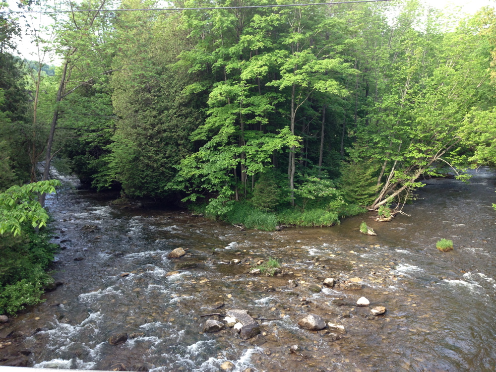
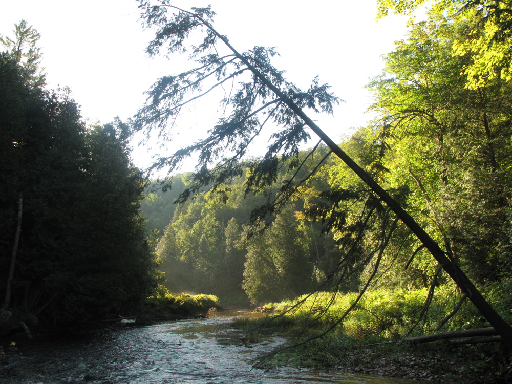
Branching off this trail, are unofficial paths that lead back down the side of the valley to the river, where there are pools deep enough to fully submerge oneself. In Southern Ontario, streams in even the most remote places readily show the debilitating effects of agricultural and residential runoff. But the water in this section of the Credit River is the clearest and coldest I’ve found this near Toronto, with salmon pools, gravel beaches and wild mint growing along the bank, where one can immerse oneself in water and sunlight, and on some days see herons and clusters of brightly patterned damsel flies. Holding onto the rocks on the bottom of the river, the current gives an invigorating massage, and handfuls of sand and gravel works as an exfoliant, making one’s skin feel clean and soft. This combination of physical features makes this an excellent natural spa, suggesting that others might have once come here for these same reasons.

The View from the Mint Patch

From here it’s necessary to find the main trail again, which continues high up on the hillside to the ruins of an early 20th century estate further up the valley, where there is a dam, a fountain, and a grotto, built by the inventor of the cushioned rubber stamp as part of a summer retreat.

bridge-Belle Fountain Run - 40

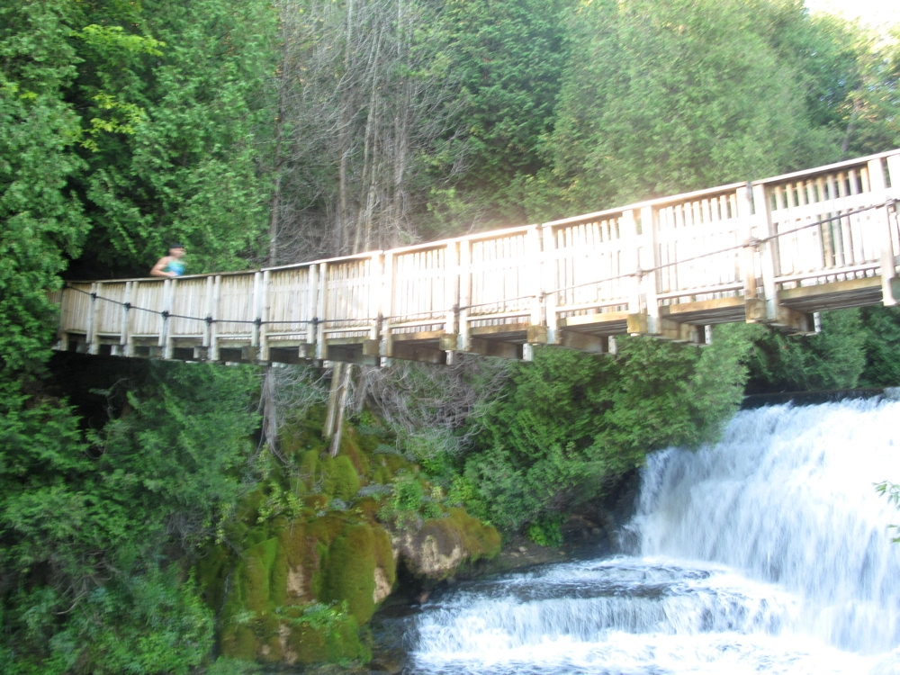
Suspension Bridge at Belfountain Conservation Area

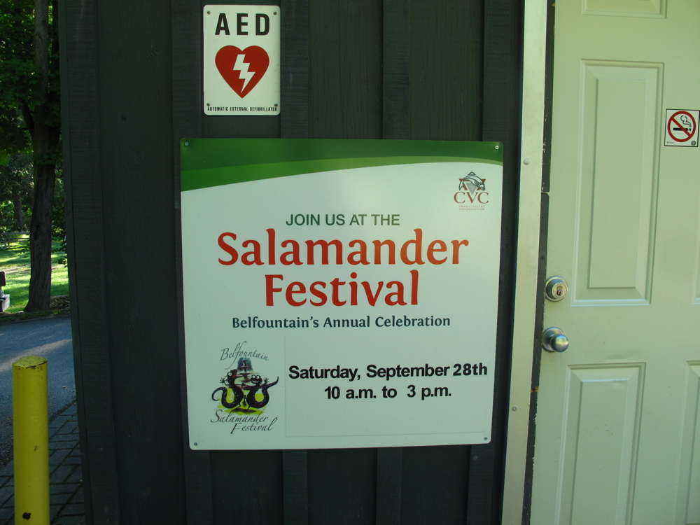
Families from Brampton and Mississauga barbeque and play cricket here on weekends, venturing tentatively onto the hiking trails. And a sign advertising a salamander festival, to be held in September, suggests other interesting things to be discovered in the forest.

salamanders-Belle Fountain Run - 47

Salamander Festival

After hopping from rock-to-rock along steep hillsides, and being tumbled down the icy rapids in an aromatic cloud of mint, one comes out of the woods and onto Mississauga Road near a cafe, where on weekend mornings the parking lot is filled with carbon fiber road bikes and high-end motorcycles. From here one follows the shoulder of Mississauga Road, heading south and turning left on Caledon Mountain road (three to four kilometres in total), following it to the end where it meets the Bruce Trail. Turning right on the Bruce Trail, it’s only about two kilometers back through the woods to where one started.

finish-Belle Fountain Run - 49

Finished by 9:15 am and home in time for brunch

Distance: 10 km.
Time: Approximately 1.5 hours with breaks
Plus 45 to 55 minutes drive each way from Toronto

Underground Space Station

BC: Underground Space Station Journey - 22

Thom Van der Vaag and Charlie Murray inside the Underground Space Station

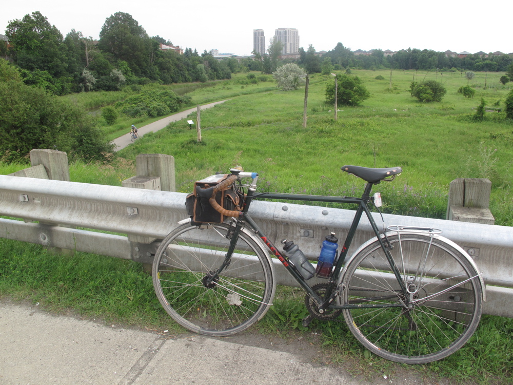
For the past six months I’ve been so busy that I haven’t been riding my bike very much. I’ve been running instead. It stretches my half hour bicycle commute through the centre of the city into a leisurely hour long run through High Park and along Lake Ontario. It also creates a sense of time and space expanding, so that as I run I slow down and feel each hill and ravine, the height of the grass, the thickness of the summer air, and take notice of life in the places I run through. Cycling is similar, but accelerated and stretched out, so that in the duration of a thought I can be propelled over the horizon, past driveways and side roads, tracing the topography like drawing a line across a map. As movement, each presents a different way of integrating the body with space, and a different conscious experience of time.

To get back on the bike means getting used to being crouched in the saddle hour after hour, and traversing the vast suburban and industrial spaces that separate central Toronto from the surrounding countryside. Last week Charlie Murray, a Toronto-based artist, wrote to me to say that he was planning a work party at the Underground Space Station (USS), about 80 kilometers north of Toronto. The USS is an experimental alternative living space and eventual artist residency and bed-and-breakfast, near Alliston Ontario, that he and his collaborator and cousin, Thom Van der Vaag, have been working on since 2008. Over the Canada Day long weekend, they and a group of Charlie’s long-time collaborators from the artist-collectives CN Tower Liquidation and VSVSVS, were working on the USS, reinforcing its structure, and getting it ready to be opened this coming fall.

This is the kind of thing that piques my curiosity, so I got up at 5 am on Canada Day Monday, and rode up to the Space Station. The trip also presented a chance to explore a new route out of the city, as a proposal for an eighty kilometre multiuse path across the city – the Pan Am Path – had also just been announced, which included a thirty kilometer section from my neighborhood in the downtown west end to far northwest corner of the city. The proposal for the Pan Am Path, however, is not to build the trail, but merely to link up existing trails to create a continuous network. In the west end the trail is complete, except for a one-kilometer section where one detours along Weston Road. For me, and for other cyclists, the absence of a safe bike route traversing the northwest end of the city has been a major obstacle to reaching the countryside outside of Toronto. In the past, I’d either ridden up Martin Grove and along Finch, and then skirted around Brampton, sometimes amid heavy truck traffic, or ridden to Port Credit and into the countryside, using Mississauga Road, a longer but safer route.

The Humber path is the Northwest Passage of bicycle routes. From the mouth of the river on Lake Ontario to the marshland at the intersection of Highway 427 and Finch Avenue, north of the Toronto airport, it follows almost 30 kilometers of lush wooded river valley, where mid-century garden city apartment complexes rise from the forest, off in the distance. The entire route can be viewed here: http://www.gmap-pedometer.com/?r=5996261

BC: Underground Space Station Journey - 03

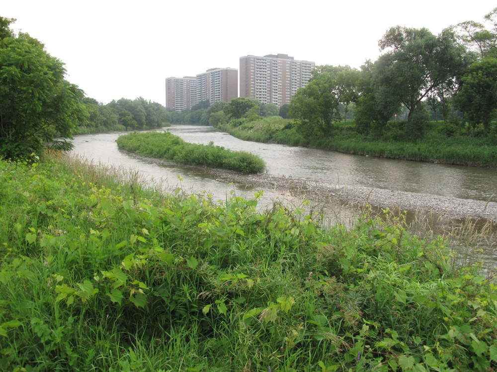
Garden City Towers along the Humber River

Except for a healthy dose of mural art, distant high rises, and airplanes approaching Pearson airport, there are few familiar signs of urban city. Crossing a bridge near Highway 401, I heard what sounded like the splashing of an unskilled canoeist. I turned to see a deer, wading across the river, oblivious to my presence. And there were few people on the path aside from Sikh men who greeted each other with hands raised in prayer, as they passed one another, and the occasional dog-walker. The trail ends abruptly, in a marsh deep in Malton. From here its necessary to ride a few kilometers along Finch avenue, passing a campground that’s miraculously survived despite all the factories and warehouses that have appeared in this part of the city. This leads to a dirt lane that crosses the Claireville Conservation Area, to a suburban boulevard in Brampton.

Abandoned road through Claireville Conservation Area between Toronto and Brampton

BC: Underground Space Station Journey - 14

Abandoned road across the Claireville Conservation Area, bridging Toronto and Brampton

BC: Underground Space Station Journey - 15

North entrance of the Claireville Conservation Area, from Brampton

The section through Brampton is short-lived, and not uninteresting. 19th century country churches sit next to 21st century suburban mosques and Hindu temples. And four lane suburban boulevards, shopping plazas and tract houses quickly disappear, leading to rolling hills and countryside, where one can allow one’s thoughts to drifts. Here, it’s possible to choose the least trafficked, or the most interesting route, in my case the lightest line on the map, or the line that appears to follow a natural feature, like a valley or a brook, or has a promising sounding name.

BC: Underground Space Station Journey - 33

Concession Road 4, Simcoe County

BC: Underground Space Station Journey - 36

Centreville Creek Road, Caledon


From Brampton, the landscape slowly changes from suburbs to farmland, then to affluent horse farms that give way to poorer rural homesteads, which then give way to vast potato farms. The soil changes, as does the topography and the watersheds that feed it, from the small tributaries at the headwaters of the Humber and Credit Rivers, to the swamps and streams that flow north into Lake Simcoe. Here, near the height of land, 100 kilometers out of Toronto, the Underground Space Station is buried beneath an island of forest, surrounded by farmers’ fields.

BC: Underground Space Station Journey - 19

Concession Road 4 approaching Alliston

BC: Underground Space Station Journey - 21

Truck ride to the Underground Space Station

BC: Underground Space Station Journey - 31

Site of the Underground Space Station

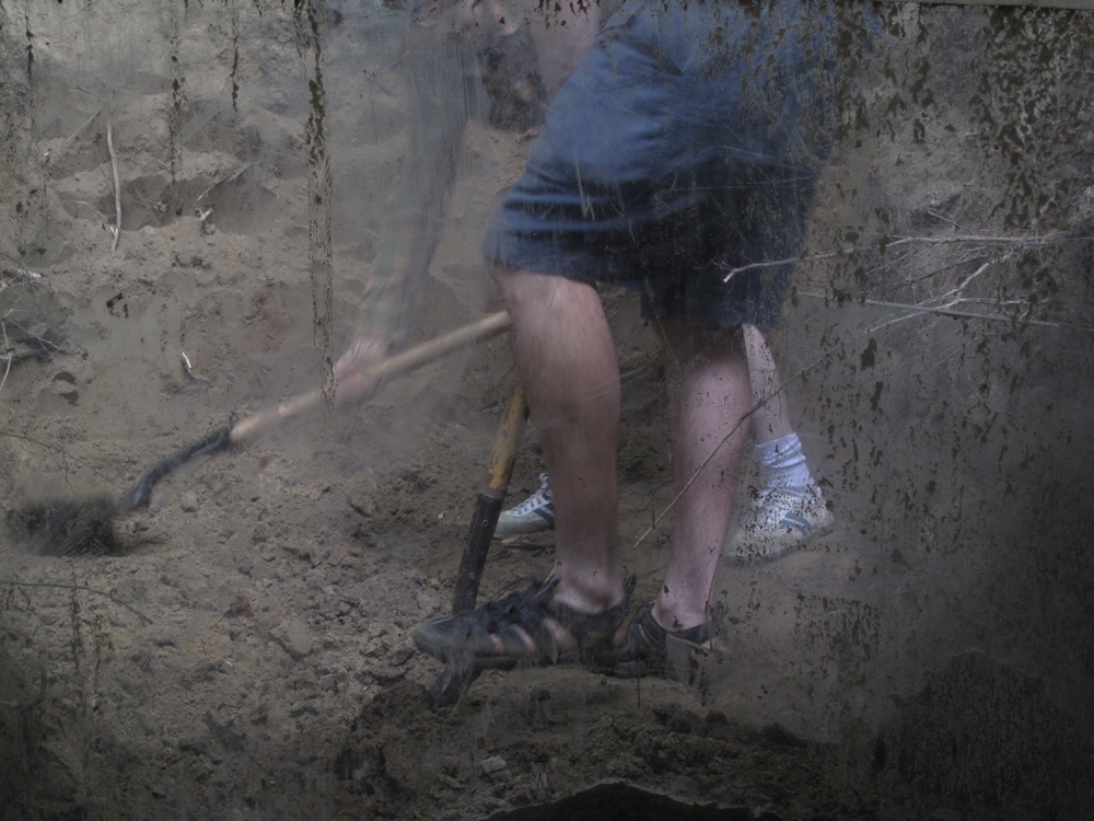
I arrived just before noon, in time to head across the field in the back of a pick-up truck, with the work crew. The group was set with the task of digging around previously installed sections of the USS to install additional reinforcements, which would better disperse the weight of the soil pressing against the USS, which risked bending and buckling under its force. Thom and Charlie took me inside through a portal that lead to the central command module, from which several passageways lead to smaller chambers, including a three person sleeping compartment where each person slept in an individual-sized plastic cylinder, and an observation deck that looked out horizontally into the surrounding earth through a window panel, and downwards into a space designed for the continual excavation of earth from beneath the Space Station.

BC: Underground Space Station Journey - 24

Digging underway adjacent to the observation deck

BC: Underground Space Station Journey - 26

View from one of the interior portals

BC: Underground Space Station Journey - 28

View from above ground, of exposed Space Station modules


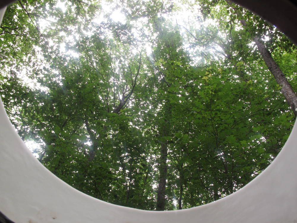
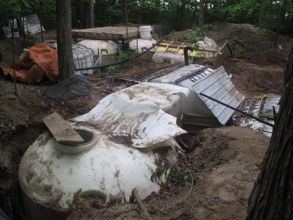
Constructed entirely out of room-sized farm water storage containers, altered and sculpted to form modular living spaces, the USS reflects the absurd and ambitious utopianism of Atelier Van Lieshout. Electricity, ventilation, a system for the recycling of human waste, as well as custom upholstery remain to be installed. Completed as such, it will function as a self-contained system for living, at once like the International Space Station and a Cold War era bomb shelter. Not yet entirely concealed beneath the forest floor, from the surface the USS looks like an arrangement of organs contained within a body, and to some extent also operate this way. The command module functions as a DJ booth, and sound tubes are installed at either end of the structure, providing a sonic conduit between interior and exterior. Similarly, portals peek into the forest above, and with mirrored floors, some sections of the interior space will reflect the forest exterior so that one will be intensely aware of both earth and sky, and of how both light and sound resonate and reflect through the Space Station. But unlike James Turrell’s Rodin Crater, a monumental mountain-top observatory in Arizona designed to give visitors a sense of losing their earthly groundedness and of becoming immersed in the cosmos, the USS is designed to give its visitors an enhanced sense of being of the earth. It enables one to get as close to it as possible, to literally get under its skin and become coextensive with it.

BC: Underground Space Station Journey - 30

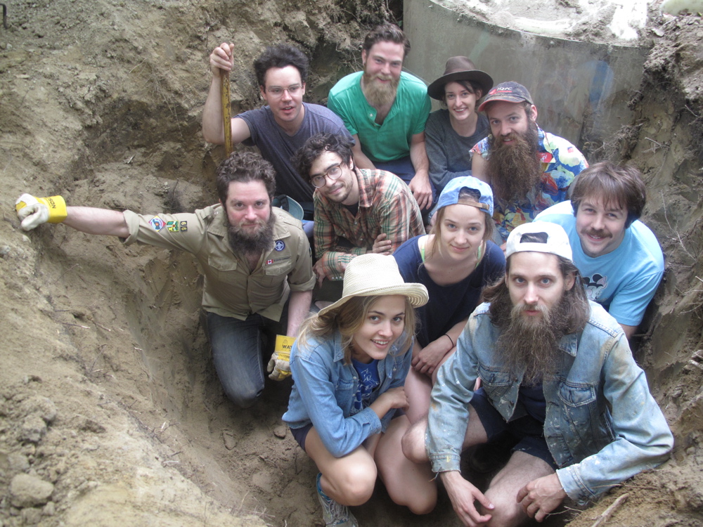
Canada Day weekend work crew at the USS

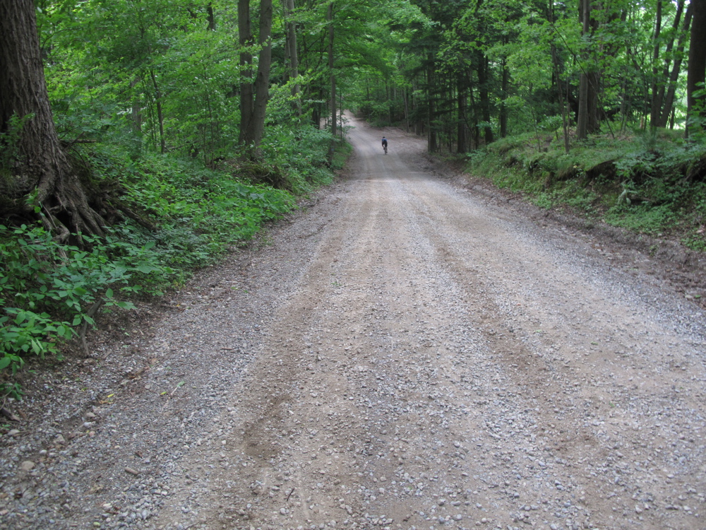
With everyone busy shoveling, I got back on my bike, and looked for a new route back to the city. There is almost always a slight northeast wind in this part of Ontario, which meant I had a crosswind on the ride up to the Space Station, and a tailwind on the ride back to Toronto (though I felt faster riding back, my time was  the same going both ways). On the return I sought out the more varied topography to the west, trading my earlier forested route for a hillier and more exposed gravel road that passed through Hockley Valley, and by farms grown up in maple trees where there were still signs of windrows and former driveways. The route was quiet, hardly uninterrupted by cars or people. A dog ran by my side for a while, until I coaxed it to go home, and on a steep section where I had to get off my bike and push up a  gravel incline, the only cyclist I saw all day blazed past me, gleefully shouting “how’s it going, dude?” before disappearing.

BC: Underground Space Station Journey - 34

Passing cyclist on backroad in Glen Haffy Conservation Area

BC: Underground Space Station Journey - 35

Descending into Brampton and the Greater Toronto Area along Centreville Creek Road

BC: Underground Space Station Journey - 39

Humber marsh below Finch avenue, at Highway 427, where the Humber Trail begins


Before long I could see the sprawl of Brampton and Toronto, and left the endlessly vibrating dirt roads for the quiet winding path along the Humber, with its lush meadows and futuristic high rises. And soon I was back on the slow humid streets of Toronto, having over the course of a day, ridden past the horizon, briefly disappeared beneath it, and come back again.

Distance: 200 km

Time: 8:23

Average Speed: 24 kph

Maximum Speed: 74 kph 

Route Map: http://www.gmap-pedometer.com/?r=5996261

West-end Urban Backwoods 12k

On Saturday the High Park Mountaineering Society packed a picnic and some scotch and went for a fast hike (ie., a run) through the backwoods of the West End. The route followed as many hills as we could find from the Keele and Bloor entrance of High Park, across the park, up Olympus Avenue, along a hidden hillside path that parallels Ellis Avenue , across Swansea to the Humber, around Baby Point and through Bloor West Village and back to High Park.  There the group divided, and some of us did several laps around the park trails, ending for a picnic in the cherry grove.

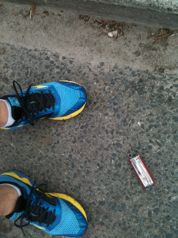
Along today’s route, a very nice swiss army knife dropped on the street.

West-end Urban Backwoods 10 K

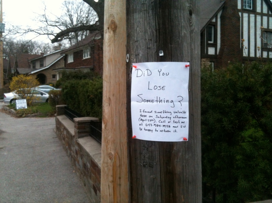
I went back the next day and left this note:

swiss-armyIIOne of the people who initiated this event is into conceptual distance running. I’m not sure what that means exactly, but it sounds interesting nonetheless. Last year I ran with him from the Kipling subway station to Kennedy  station: 34 kilometers in total, which was terrible for my knees. A few months later we ran from Downsview subway station – I had to quit at Bloor – but he continued to Union station and back up to Finch.

Total High Park/Swansea/Humber backwoods circuit: 12 km (plus getting there and laps around High Park = 22 km)

Atlantic Symposium on Art Writing & Halifax Galleries Tour

C Magazine and Visual Arts Nova Scotia held the Atlantic Symposium on Art Writing in Halifax from April 19th to 21st. I briefly considered going early and bringing my bicycle so that I could ride up to Antigonish – a small-ish town about 180 km away from Halifax, where’s an interesting confluence of artists, rural culture, and academics – before the symposium began. As it turned out, at the symposium there were people from all over the Atlantic region and a few from Antigonish, which more than made up for this foregone adventure.

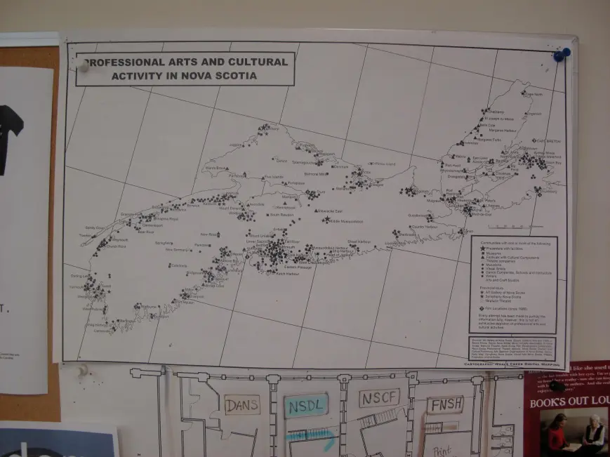
When I arrived, I saw this map of “Professional Arts and Cultural Activities” at Visual Arts Nova Scotia. Squares are museums, triangles are festivals, circles are artists, musicians or writers. Some of these places are pretty obscure in really interesting ways. And there’s a lot that’s simply not on this map. It provides an outline for a really fantastic bike trip and more-or-less represents the idea that inspired this blog; to cycle around to places like this and write about artistic and cultural practices in a way that also consciously embraces the physical experience of getting there; and that gives such practices some broader context, whatever that might be.

Map of professional arts and cultural activity in Nova Scotia

At least in the arts, not many people are writing from these places, especially for national or international audiences. It doesn’t need to be said that being part of broader cultural conversations and critical debate is necessary to advance artistic practices, for artists to receive funding, and for their work to circulate beyond a local or regional context. Writing and publishing is an essential part of this process, so it was with this in mind that the symposium was organized.

Held at the Art Gallery of Nova Scotia and at NSCAD University, the symposium began with a talk by Sylvie Fortin, former Editor-in-Chief of the Atlanta-based quarterly, Art Papers, and interim Director at the Agnes Etherington Art Centre in Kingston. This was followed by a day of panel discussions with Gabrielle Moser, independent curator and critic; Richard William Hill, Professor of Art History at York University; Leah Sandals, online Editor at Canadian Art; Ray Cronin, Director and CEO of the Art Gallery of Nova Scotia; Mike Landry, Arts & Culture Editor at the Telegraph Journal in New Brunswick; JJ Kegan McFadden, independent curator from Winnipeg; and Lizzy Hill, Editor of Visual Arts News. Speakers addressed the function and purpose of art writing, what it means to write critically (and why sometimes we don’t write criticism), different models for art writing and publishing, and how publications themselves work. The broader purpose of the symposium was to try to break down some of the barriers between writers working in Atlantic Canada, and some of the nationally and internationally focused art magazines like Canadian Art, Filip, Bordercrossings and C Magazine, and elicit more content from this part of the country.

The symposium covered a lot of ground, often circling around the question of what is criticism, where it can happen, and is whether there is a “crisis” in criticism – a question that is perhaps too-often repeated, but which typically arises in response to the glut of promotional writing in the form of press releases, catalog essays and other texts commissioned by galleries, which often reach only a fairly limited audience. However, as Fortin pointed out, the nature of criticism is to incite crisis, and that despite claims to the contrary, criticism is not dead. As the symposium unfolded, it became clear that criticism happens in a lot of different places – in publications as well as through people’s art practices –  a point that Leah Sandals addresses in an article for Canadian Art Online, where she draws out some of the themes of weekend and highlights some of the interesting projects happening in Halifax. Her article can be seen here: http://www.canadianart.ca/features/2013/04/25/atlantic-symposium-new-directions-for-art-writing/. In particular, she notes a journal started by a group of NSCAD students, called CRIT, but also the previous publication projects of Eyelevel Gallery. At the symposium Eyelevel launched a catalogue for the World Portable Galleries Convention, that they held in 2012 (http://eyelevel-gallery.tumblr.com/galleries), reflecting a rich body of body of publications coming out of Atlantic Canada (It should also be noted that Halifax INK, a consortium of publishers including different Halifax-based artist-run centres and galleries had a table at last year’s New York Art Book Fair).

However, the issue that keeps affecting magazines is that it’s difficult to get content from Atlantic Canada. Conversely, artists and art organizations feel they’re not adequately represented in magazines outside the region. It’s difficult for most editors to get content from anywhere outside of major Canadian cities, simply because there is such a disproportion of writers in larger urban centres relative to smaller cities or rural areas. This creates a huge void in terms of what gets represented nationally and internationally, with publications ignoring vast and complex dimensions of aesthetic and cultural experience. 

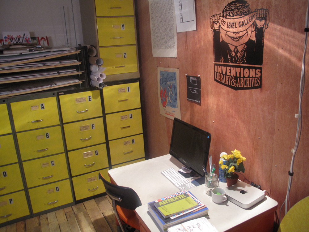
In Atlantic Canada there’s a lot going on in terms of not only contemporary art venues and organizations, but also artist-run culture. And historically, countercultures have taken root in the region in tandem with the rise of movements such as conceptualism. Organizations across the region include Struts Gallery and residency in Sackville, which hosts a number of different artists each year; Eastern Edge in St. John’s Newfoundland, Gallery Connexion in Fredericton, and the University College of Cape Breton Art Gallery, recently transformed under a new Director. As part of the symposium Visual Arts Nova Scotia led a tour of Halifax galleries; Mary Black, SEEDS Gallery, Eyelevel, Mount St. Vincent Gallery, Dalhousie Art Gallery, St. Mary’s University Art Gallery, and the Art Gallery of Nova Scotia. Eyelevel, an artist-run centre that’s been around since 1972, houses an archive of artist publications, and documents of Atlantic artist-run centres, in a back room. They’ve initiated a writer’s residency as part of this project, for anyone who wants to mine the history of artist-run culture in the Atlantic region.

eyelevelIII

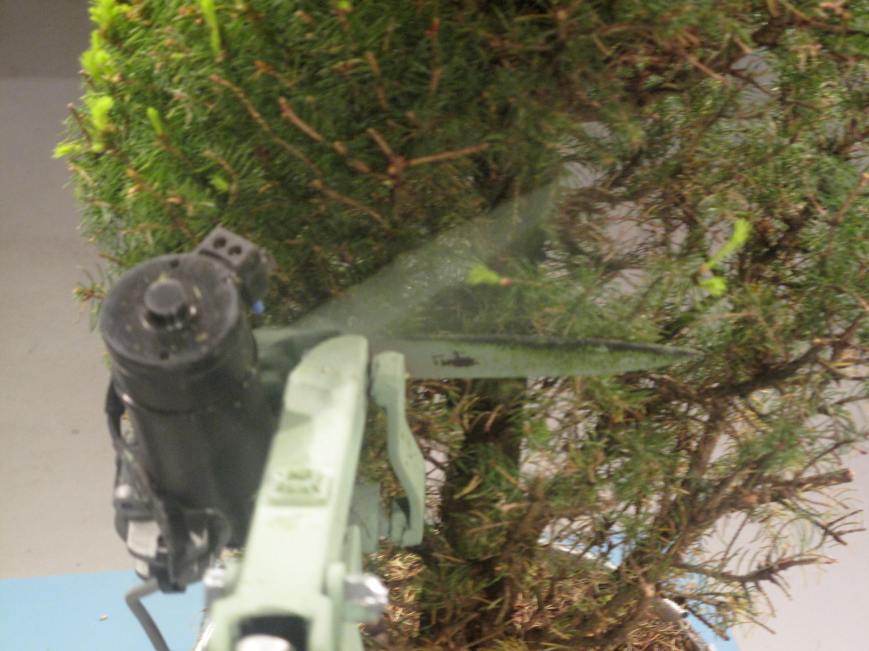
During the tour Robert Hengeveld’s Agency was on view, two installations consisting of topiary that automatically receives regulated amounts of light and shearing, as such to maintain a sense of homeostasis (the grass is cut at the same pace that it grows).

eye-level


Images Festival Off-Screen Half-Marathon Part II

Not having made it to a number of the Images Off-Screen Programs, I tried to see the rest of them throughout the week, during lunch, and on the way back from work. The Half Marathon became another half marathon, and then some more, including diversions into the ravines and further reaches of the city, as signs of spring began to appear.

On Tuesday I ran to my dentists appointment at Bloor and Royal York, crossing High Park, climbing Olympus avenue to where it looks down on Grenadier Pond and to Lake Ontario, and then to the Kingsway, coming back across home across the Humber River and Bloor West Village. After getting some work done, I ran a short loop to Mercer Union at Bloor and Landsdowne, to see Paul Sietsema’s Telegraph, and to Scrap Metal, in a back alley off Dublin street, near the railroad tracks, to see Jean-Paul Kelly’s Service of the Goods. Sietsema’s work consists of a film showing pieces of driftwood found after a hurricane, that appear like ambiguously coded letterforms, against a black background, and a series of framed works on paper in the back gallery, of sailboats, a page of the New York Times. These are austere, formal works that require a lot of effort on the part of the viewer. To explain them briefly, they deal with formal translations, between mediums, and among images that are unbounded by the Internet. The driftwood pieces are abstract, projective, and the paper works are found images, slightly yellowed, conveying as much of the texture of their materials as they do of their subject matter. Jean-Paul Kelly’s installation at Scrap Metal, while no less intellectually challenging, engages the viewer perceptually through plays between figure and ground in a video work, where color forms are composited onto drawing animations. A series of op-art drawings, and a grouping of small images, that appear to have been printed from the Internet; of a wounded body, of a mass grave being excavated, and another video of moving through a destroyed apartment, create a sense of urgency, about how we’re seeing what’s within the image.

One of the venues for Images this year is Cinecycle, a former coach house in an alley off Spadina Avenue. Cinecycle is a bike-shop and movie theatre, that’s run by Martin Heath, a projectionist, film-maker, film preservationist and long distance cyclist. Bikes hang from the ceiling, and reels are stacked behind the movie screen. On Tuesday, Images and Wavelength presented Scoring Cinecycle, three bands (Lina Allemano Four, Eucalyptus and Del Bel), accompanying films from the collection of Martin Heath. Related to bicycles, the group Artspin (www.artspin.ca) is leading a tour of the Images Festival Off Screen Program on Saturday.

The chance to see this event is a good reason to run across the city, and the evening, before the 9 pm screening, was perfect for following the back alleys across Little Italy, looking for a hole in the fence between two alley networks, that had been a passageway between neighbourhoods. Here, I retraced night activities from another an earlier life. And the films – The Existentialist, another  film that is a long montage of endless scenes of people kissing, sweet and comic and fraught with tension. Here among all these art-house film nerds, there is not a inch of spandex.

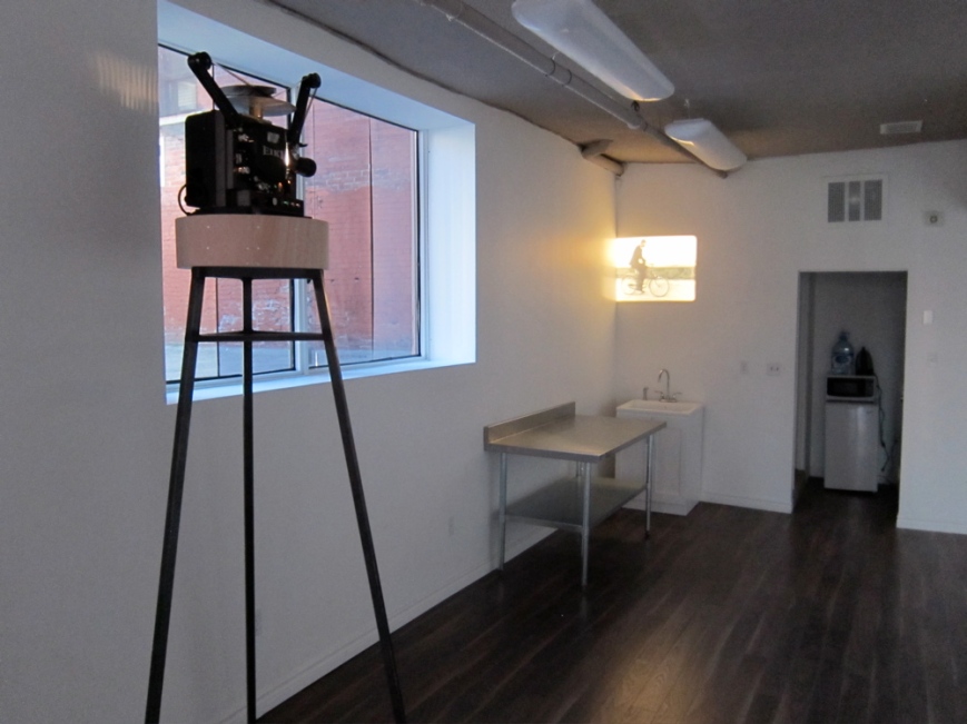
And yet, there is much more to see. On Wednesday, I ran my route to work, and at lunch revisited Andrea Geller’s installation; a show that rewards the viewer for coming back, for their careful reading and contemplation. And I returned to Greg Staat’s it dropped down their minds/for at least one day you should continue to think calmly, at Trinity Square Video. These works are quiet, meditative, and restorative. The title video shows a sequence of a dirt road, as the cameraperson walks along it, a shot of a dense thicket, where a single tree branch shakes unexpectedly, a graveyard in the snow, shot from above, the inside of a bee hive.  And a series of photographs show a hole in a fallen-in roof, opening to a blue sky, bushes suspended under the surface of a lake, looking out from under the end of a forest. Coming back home, I saw Bjorn Kammerer’s B, at Unpack Studio just behind the Dragon City Mall, a rotating projector, screening a bicyclist riding in a circle, except that the image also rotates around the room.

Last Roll - 10

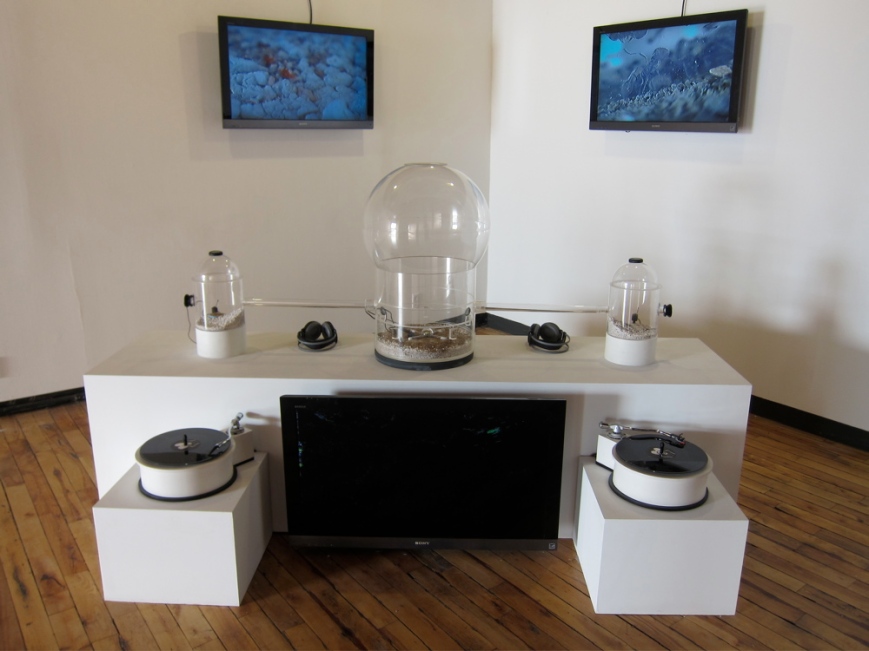
From Unpack Studio I pass through Kensington Market, where I find my friend, the theatre director Darren O’Donnell, sitting outside a cafe. He’s off to Scotland, to create a production called The Best Sex I’ve Ever Had, where his production team interviews elderly people about sexuality. It’s a warm sunny day, and he’s sitting on a bench, chatting up a 50’s-ish woman, who says the bombing at the Boston Marathon the previous day was because Boston has bad karma. From there, I head to the Museum of Contemporary Canadian Art, just catching a rehearsal of Duane Linklater and Tanya Lukin Linklater’s grain(s) and Wael Shawkys’ Cabaret Crusades, The Road to Cairo, a reenactment of the Crusades, with puppets, based on the accounts of Arab writers, and end the sequence of gallery visits with Kuai Shen’s Oh!m1gas: biometic stridulation environment, a large-scale ant farm, where the the activities and sounds of the ants are filmed and audio-recorded, and projected onto screens, with their sounds emitting from two turntables, activated by their movement. It reminds me of the other interesting projects that have happend at Interacess, and how there aren’t any other galleries that consistently show bio-art.

Last Roll - 15

Distance: 56 kilometres , including Saturday (72 if you include the trip to the dentist, and a short run in the park)

Images Festival Off-Screen Half-Marathon Part I

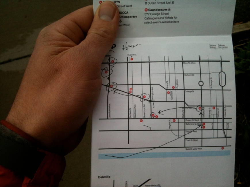
The Images Festival kicked off last Thursday and runs until April 20th. While it’s one of the most significant film festivals in the city, and merges with other kinds of visual art in powerful and interesting ways, if you’re like me, it’s difficult to get to more than a few screenings. And because the programme is stacked with great films you may never get to see again, it’s necessary to plan ahead. In the four hour window I had on Saturday afternoon, I decided that  instead of heading to the ravines of West End Toronto and across the sprawling suburbs for my weekend long run, I’d head downtown to visit as many of Image Festival off-screen programmes as possible.

images map

The advantage of running downtown from the western part of the city is that one of the best routes is to run through High Park, and follow the jogging path along the lake. The route adds two kilometers to the route, but it’s remarkably calm and serene to be in the forest, and to have a quiet uninterrupted view of the lake for more about six kilometers. As a commuting route, it takes only about a half hour longer than getting downtown by other means. And it offers ongoing reminders of what the landscape was like before it so heavily developed. Along the east side of the park is a brook that flows from the almost indiscernable ravines which Keele Street and Indian Road follow; at at the bottom of the stream is a pond, where there are the unmistakable signs of beavers.

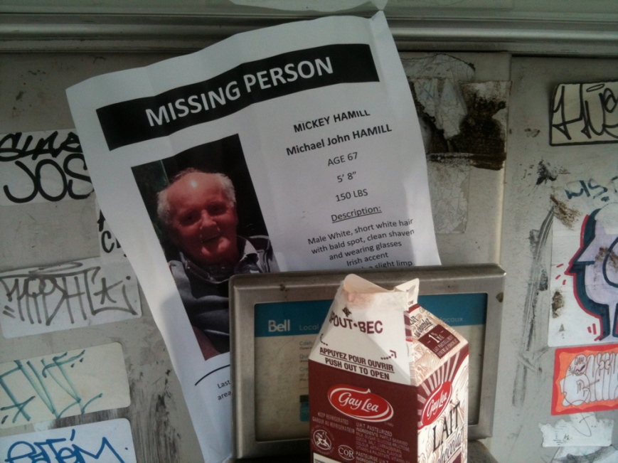
Along the way, these posters kept appearing – missing person:missing

Slight limp, talks with an Irish accent. There were signs as far east as Bathurst.

Running along the edge of the boardwalk, on the Martin Goodman Trail there are places where the water is clear and deep, and one can see to the bottom of the lake, and where one leaves the lake and heads into the city towards Richmond and Spadina, Douglas Copeland’s Canoe Landing, a sculpture park amidst high rise condominiums  plays homage to Tom Thomson and Terry Fox. Atop a hill, overlooking the Gardiner expressway is an oversized red canoe, like the one that the Canadian landscape painter supposedly died in. A running route  follows the perimeter of the park, passing a series of illuminated light boxes that, like stations of the cross, reference Terry Fox’s ultimately unsuccessful Marathon of Hope, begun in 1980. From there, it’s only five minutes to 401 Richmond, where six of the sixteen Images Festival Off-Screen programmes are sited.

The off-screen installations have been programmed in conjunction with various galleries, so the programmes there tend to reflect the specific interests of these institutions. In the 401 building, A Space, WARC (Women’s Art Resource Centre), V TAPE, Trinity Square Video, Prefix and YYZ are all hosting off screen programmes that opened on Saturday afternoon. YYZ, named after the airport code for Toronto, appropriately was hosting Patty Chang and Noah Klersfeld’s Currents, a sixteen screen video installation showing footage from sixteen cameras travelling through the automated baggage distribution systems in the Los Angeles International Airport. What’s most interesting is their footage showin houseplans that the artists placed on the conveyor belt, travelling (in a remarkably gentle fashion) through the overwhelmingly vast and complex mechanical network.

At WARK, Christina Battle’s Fog Vortex  references a 1972 article describing twelve sites around the world, that the author called “The Twelve Devils’ Graveyards Around the World,” places where there were reported to be magnetic anomalies, and where ships, airplanes and other craft are said to have disappeared. Battle filmed a similar kind of fog vortex, which slowly takes shape, and then disappears, in a doubled video projection sited in the gallery. The installation attempts to convey a sense of the spatial and temporal dislocation that one is supposed to experience when they encounter this phenomenon.

One of the most engaging exhibitions in the 401 building is Andrea Geyer’s Sound Giving Will Feeling (an insistent entity reached) at A Space. Geyer’s show is based on a residency at the Museum of Modern Art, where she researched the influence of women in the rise of modern art in New York, including women founders of major institutions including  the MOMA, the Frick, and the Guggenheim, as well as their presence in the 1913 Armory show. Given the male gender biases that shaped the collecting and exhibiting of modern art, this comes as a surprise, and complicates our thinking of this history. Mapping the connections between some of these women, the exhibition includes a massive and highly detailed hand drawn map linking influential women of the early 20th century who had major roles in shaping modern art, and who were involved in, or connected to others involved in political and social reforms of the time. It’s the two video projections, however, that are the most affecting, depicting dancers as they move through the permanent collection galleries at MOMA. The dancers respond to paintings by male artists including Matisse, Picasso and Pollack, intervening into the relationship between the painted subject and the viewer in ways that transform one’s understand of how we relate to these images, and our experience of the exhibition space itself. This is a show that gives its audience a lot to consider; with works that simultaneously engage canonized works of modern art and the infinitely complex social contexts in which they existed, moving between looking and moving, history and possibility.

From 401 Richmond, I’d ambitiously planned a leisurely route up Spadina to Unpack Studio on Willison Square, then back down to Interaccess on Ossington, then to TPW on Dundas, Scrap Metal on Dublin Street, and finally to Mercer Union on Bloor Street. With only an hour left, I instead headed straight home via Dundas, planning to stop at TPW to see Laure Provost’s The Wanderer, a film and installation that includes numerous segments of her film, which is based on an English translation of Kafka’s Metamorphosis. The immersive and somewhat unsettling installation is screened on several monitors placed within a nail salon, which happens to be a recreation of one of the sets from Provost’s film. There’s something particularly uncanny about encountering this set, with its barber chairs, linoleum tiles and mirrors surrounded the memorabilia of those who work there in TPW’s small storefront space, where one imagines such a business to have once existed. Without the clear separation of the work from the context in which it’s exhibited, it has a strangely disorienting effect. And it’s further complicated by the fact that it’s based on a translation from German to English, by Rory MacBeth, who didn’t speak any German.

In four hours I saw seven out of the sixteen offscreen installations. It’s going to require another half marathon to cover the other nine venues, and this isn’t even counting the on-screen and live-images programmes.

Distance: 18 km. Running Time: 1:50. Time Looking at Art: 2:10.

Deer Stalker

From High Park to the University of Toronto Mississauga.

This run was a variation of my seasonal bicycle commute to the University of Toronto. Instead of following the Lakeshore, which is by far the most enjoyable route, I shortened the run by crossing South Etobicoke, and following the Queensway to the Credit River. South Etobicoke has a lot of light industry and small-scale production and distribution facilities. European meats, which recently closed down its iconic store at the corner of Baldwin street and Kensington avenue in Kensington market, still has a store on Jutland avenue, next to a industrial-scale Future’s Bakery. Further west, however, the landscape is grimly unpleasant – no sidewalks, miles of high voltage power lines, and the air is filled with suspended particles that slowly accumulate on exposed skin, and are absorbed through one’s lungs. To make it worse, there was a headwind, for which there was no respite until I reached into the Credit, and followed the golf course up river.

It was here that four deer watched me from the bushes, and then this one began to follow me.

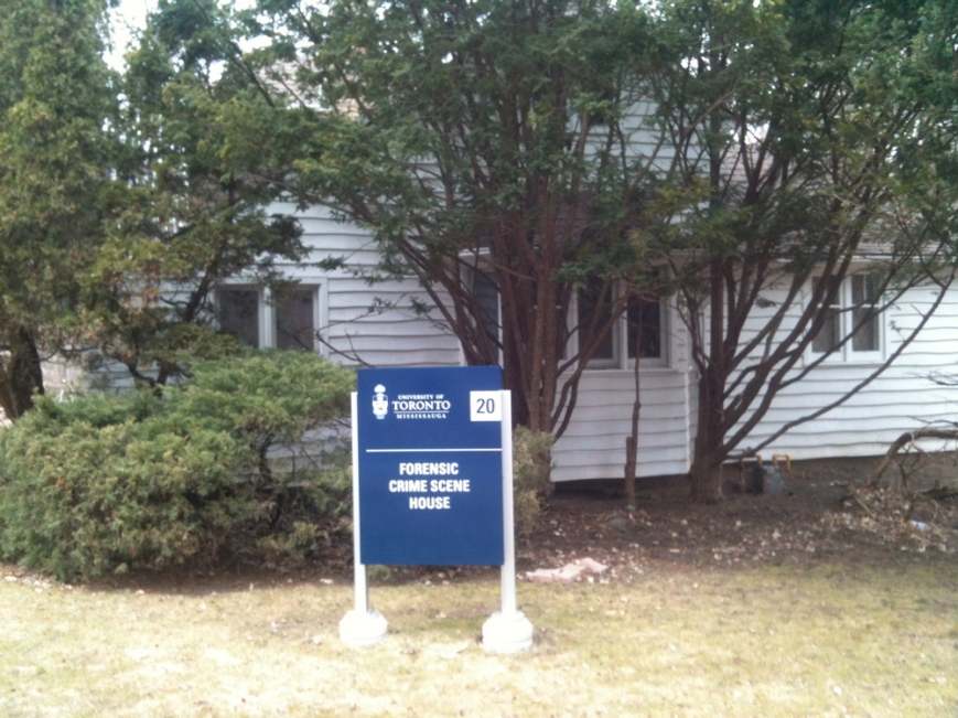
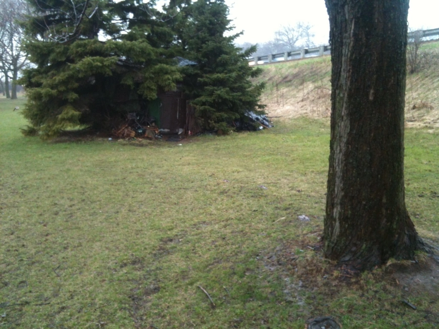
Library - 24062The section along the Credit where it passes through the University of Toronto Mississauga campus make running across the vast, dull expanse of Mississauga almost worth it. Here, the river winds down a deep gorge crested with ancient cedars, that has natural rocky shoals. Along the top of the gorge, rising from the midst of untended savannah-like meadows, one can see the stark 21st century minimalist steel, glass and burnished copper buildings of the campus, and its mid 20th century concrete brutalist architecture. A walking trail meanders through the woods, coming to the end of a long hidden driveway, where there is an eerily concealed forensic crime scene house.

Commuting by public transit from downtown Toronto to the UTM campus typically takes 1.5 hours;  by car it’s half an hour; by bicycle it’s one hour; running, it’s three hours.

Distance: 27 km. Running Time: 3 Hours.